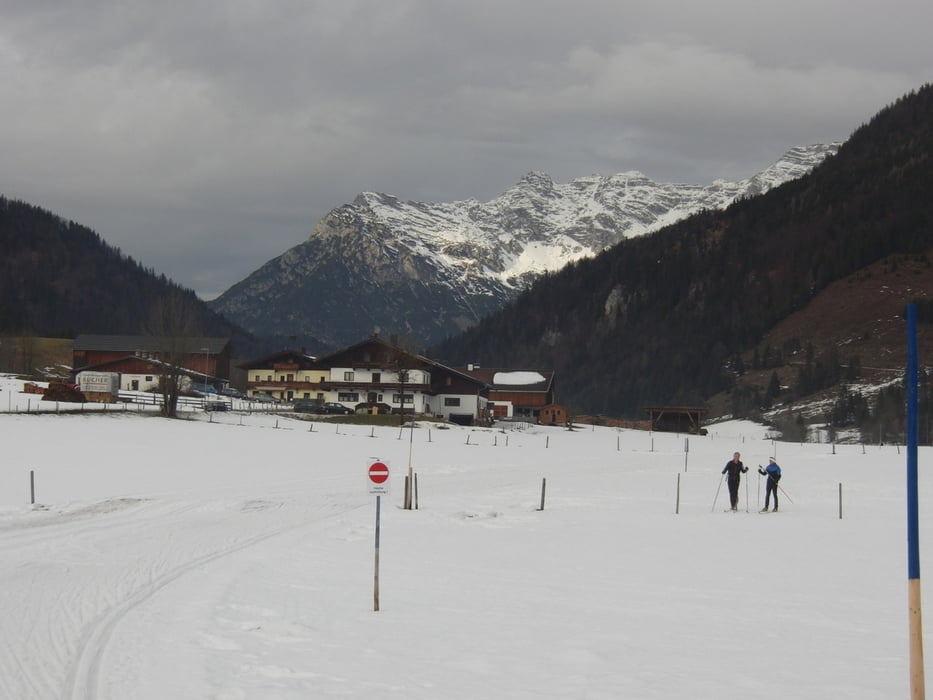
Nachdem wir in diesem Jahr den Schnee suchen müssen, führte uns der Tagesausflug nach Hochfilzen. Wir standen am Warminger Hof. Die hatten wenig mit den Alpinen zu tun und gut Platz für uns.
Einstieg ist direkt am Gasthaus (dort gibts auch eine Buslinie, die häufig dort hält, weiß aber nicht, wo die herkommt). Gespurt war die Warminger Loipe, die Dorfloipe und die Verbindungsloipe nach St. Ulrich. Anscheinend war auch die Europaloipe Feistenau gespurt, aber wir sind nicht dorthin gelaufen.
Sehr schöner Tag.
Loipengebühr 4 Eur.
Further information at
http://www.kitzbueheler-alpen.com/de/pillerseetal/winter/langlaufen.htmlGalerija izletov
Zemljevid in višinski profil izleta
Komentarji

Über die A8 bis zum Inntaldreieck und weiter auf der Inntalautobahn bis Oberaudort. Dort abfahren und über die 172 Richtung Kössen fahren. Weiter gehts auf bis Waidring - St. Urlich und nach Hochfilzen.
Wir standen am Warminger Hof. Dort ist auch ein Parkplatz für den Lift und es sind nur 50m bis zum Loipeneinstieg. Ob der Parkplatz kostet, weiß ich nicht.
Poti GPS
Trackpoints-
GPX / Garmin Map Source (gpx) download
-
TCX / Garmin Training Center® (tcx) download
-
CRS / Garmin Training Center® (crs) download
-
Google Earth (kml) download
-
G7ToWin (g7t) download
-
TTQV (trk) download
-
Overlay (ovl) download
-
Fugawi (txt) download
-
Kompass (DAV) Track (tk) download
-
List z izleti (pdf) download
-
Original file of the author (gpx) download


