Login

Si pozabil/a podatke za prijavo?

Cookies have to be accepted!
Your browser's cookie functionality is disabled. Please enable this functionality.

Not a member yet?

Register now
Login

Available for registred users only

Log in to use this feature.

Si pozabil/a podatke za prijavo?

Cookies have to be accepted!
Your browser's cookie functionality is disabled. Please enable this functionality.

Not a member yet?

Register now
Filter
Kategorije
Advanced filters
  • Dolžina (km)
  • Metri nadmorske višine
Shrani filter Reset filter

TrackRank

QRCode

Technical data

Dolžina8,2 km Metri nadmorske višine578 m Way down587 m Trajanje03:30 h:m Datum19.01.2014
Ocene Author Pokrajina Dejavnik zabave Kondicija Tehnika

Statistika

988 Pogledi Ocene 199 Prenosi Povprečje
Rate
  • List z izleti
  • Prihod
  • Prenosi
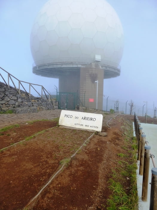
Wir starten an der Bergstation am Pico do Ariero. Es geht dem gesicherten Weg entlang oft auf und ab. Bei uns wehte ein kräftiger Wind, so dass man winddichte Kleidung tragen sollte. Außerdem sollte man über eine gewisse Grundkondition verfügen, da es einige Aufstiege zu bewältigen gilt. Ansonsten eine sehr empfehlenswerte Tour.

Galerija izletov

Zemljevid in višinski profil izleta

  • Open Street Map
  • Google
Minimum height 1576 m Maximum height 1878 m Prikaz podrobnosti

More about the tour author

Meckerfuchs
Member since 2010

Send private message

Komentarji

Poti GPS

Trackpoints
  • GPX / Garmin Map Source (gpx) download
  • TCX / Garmin Training Center® (tcx) download
  • CRS / Garmin Training Center® (crs) download
  • Google Earth (kml) download
  • G7ToWin (g7t) download
  • TTQV (trk) download
  • Overlay (ovl) download
  • Fugawi (txt) download
  • Kompass (DAV) Track (tk) download
  • List z izleti (pdf) download
  • Original file of the author (gpx) download

More about the tour author

Meckerfuchs
Member since 2010

Send private message
Share track
Add to my favorites
Remove from my favorites
Edit tags
My score
Rate
Izlet: Madeira, rund um den Pico das Torres
Vrsta: Pešačenje
Dolžina: 8,2 km
Evaluated on:
Trajanje:
Day(s)
Hour(s)
Minute(s)
Ocena: Pokrajina Dejavnik zabave Kondicija Tehnika