Login

Si pozabil/a podatke za prijavo?

Cookies have to be accepted!
Your browser's cookie functionality is disabled. Please enable this functionality.

Not a member yet?

Register now
Login

Available for registred users only

Log in to use this feature.

Si pozabil/a podatke za prijavo?

Cookies have to be accepted!
Your browser's cookie functionality is disabled. Please enable this functionality.

Not a member yet?

Register now
Filter
Kategorije
Advanced filters
  • Dolžina (km)
  • Metri nadmorske višine
Shrani filter Reset filter

TrackRank

QRCode

Technical data

Dolžina84,8 km Metri nadmorske višine1675 m Way down1679 m Trajanje06:13 h:m Datum06.04.2014
Ocene Author Pokrajina Dejavnik zabave Kondicija Tehnika

Statistika

229 Pogledi Ocene 12 Prenosi Povprečje
Rate
  • List z izleti
  • Prihod
  • Prenosi

Direkter Weg nach Mödling zur Radbörse. Anninger über die Goldene Stiege.
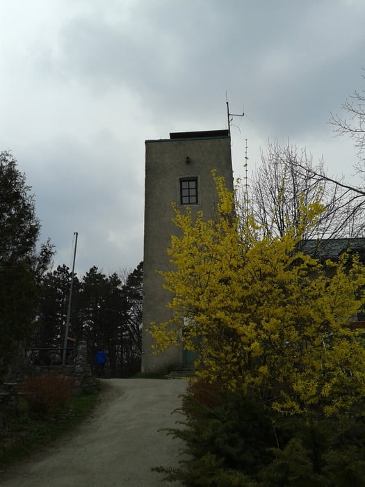
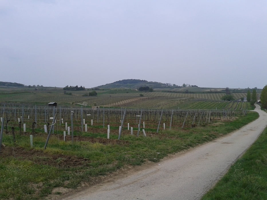
Heißer downhill vom Lindkogel und dann die Mühen der Ebene
durch die Weingärten.


Galerija izletov

Zemljevid in višinski profil izleta

  • Open Street Map
  • Google
Minimum height 189 m Maximum height 836 m Prikaz podrobnosti

More about the tour author

mitter
Member since 2008

Send private message

Komentarji

Start in Meidling.


Poti GPS

Trackpoints
  • GPX / Garmin Map Source (gpx) download
  • TCX / Garmin Training Center® (tcx) download
  • CRS / Garmin Training Center® (crs) download
  • Google Earth (kml) download
  • G7ToWin (g7t) download
  • TTQV (trk) download
  • Overlay (ovl) download
  • Fugawi (txt) download
  • Kompass (DAV) Track (tk) download
  • List z izleti (pdf) download
  • Original file of the author (gpx) download

More about the tour author

mitter
Member since 2008

Send private message
Share track
Add to my favorites
Remove from my favorites
Edit tags
My score
Rate
Izlet: Wien-Mödling-Anninger-Lindkogel-Wien 140405
Vrsta: Gorsko kolo
Dolžina: 84,8 km
Evaluated on:
Trajanje:
Day(s)
Hour(s)
Minute(s)
Ocena: Pokrajina Dejavnik zabave Kondicija Tehnika