


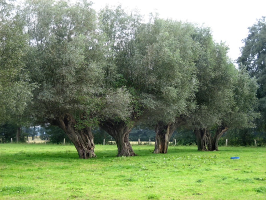
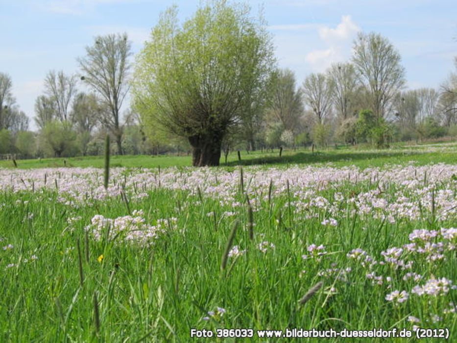
vom Hbf Benrath gerade aus Richtung Schloss Benrath. Durch den Schlosspark hindurch hinunter zum Rhein dann dem Wanderweg einfach folgen entlang der Baumreihen bis zum Anleger der Fähre nach Zons. Überfahrt und Rundgang in Zons isnd Lohnenswert weil es sich um eine mittelalterliche Zollfestung handelt.
Mit der Fähre weider zurück und nach rechts auf dem Feldweg am Rhein weitergehen bis zum Campingplatz Rheinblick.
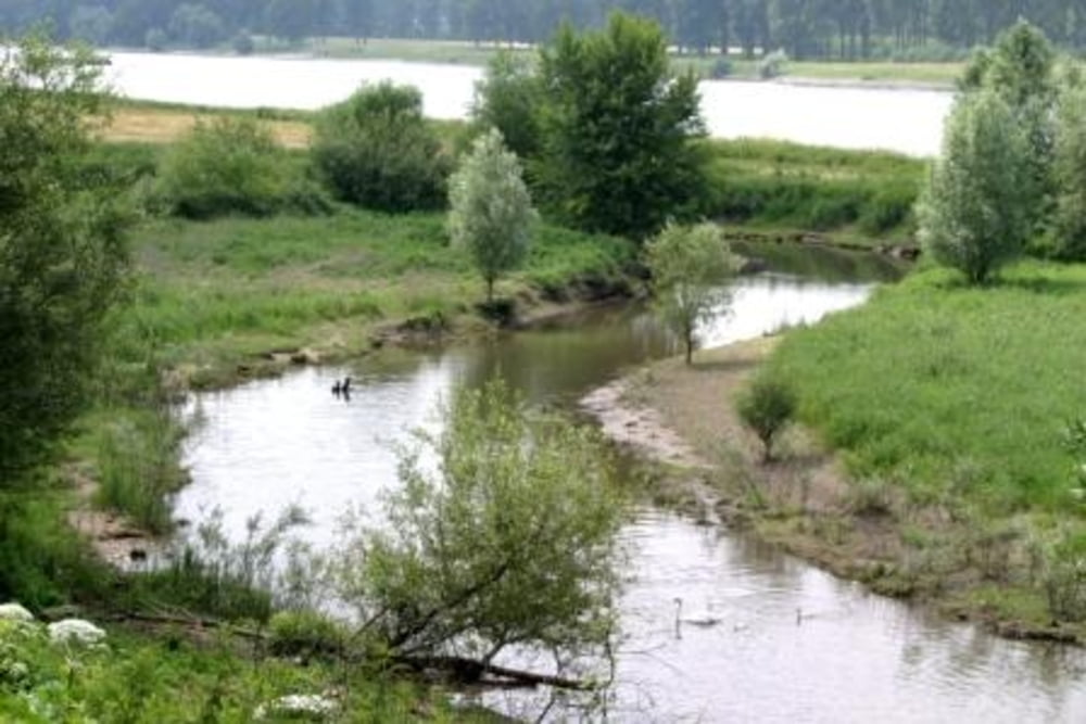
Dort dem Zufahrtsweg folgen bis zur L 293 Urdenbacher Weg dort erst links und dann nach rechts die Straße Überqueren von da ab der Beschilderung Neanderlandsteig folgen bis zum Altrhein von da aus in Richtung S- Bahnhof Hellerhof.
Galerija izletov
Zemljevid in višinski profil izleta
Minimum height -54 m
Maximum height 98 m
More about the tour author
|
|
starwin |
Komentarji

Mit der S-Bahn S 6 von Düsseldorf Hbf nach Benrath Hbf.
Poti GPS
Trackpoints-
GPX / Garmin Map Source (gpx) download
-
TCX / Garmin Training Center® (tcx) download
-
CRS / Garmin Training Center® (crs) download
-
Google Earth (kml) download
-
G7ToWin (g7t) download
-
TTQV (trk) download
-
Overlay (ovl) download
-
Fugawi (txt) download
-
Kompass (DAV) Track (tk) download
-
List z izleti (pdf) download
-
Original file of the author (gpx) download
More about the tour author
|
|
starwin |
Add to my favorites
Remove from my favorites
Edit tags
Open track
My score
Rate