Login

Si pozabil/a podatke za prijavo?

Cookies have to be accepted!
Your browser's cookie functionality is disabled. Please enable this functionality.

Not a member yet?

Register now
Login

Available for registred users only

Log in to use this feature.

Si pozabil/a podatke za prijavo?

Cookies have to be accepted!
Your browser's cookie functionality is disabled. Please enable this functionality.

Not a member yet?

Register now
Filter
Kategorije
Advanced filters
  • Dolžina (km)
  • Metri nadmorske višine
Shrani filter Reset filter

TrackRank

QRCode

Technical data

Dolžina15,1 km Metri nadmorske višine486 m Way down462 m Trajanje07:00 h:m Datum03.05.2014
Ocene Author Pokrajina Dejavnik zabave Kondicija Tehnika

Statistika

284 Pogledi Ocene 12 Prenosi Povprečje
Rate
  • List z izleti
  • Prihod
  • Prenosi

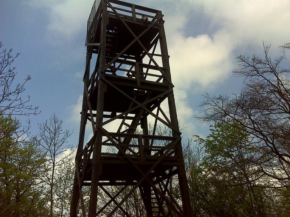
Bakonybélből harmadik nekifutásra sikerült feljutnunk, korábban a sok apró gyerek miatt nem sikerült.

A lefelé úton nagyon érdekesek a barlangok.


Galerija izletov

Zemljevid in višinski profil izleta

  • Open Street Map
  • Google
Minimum height 299 m Maximum height 734 m Prikaz podrobnosti

More about the tour author

anyosati
Member since 2013

Send private message

Komentarji

Poti GPS

Trackpoints
  • GPX / Garmin Map Source (gpx) download
  • TCX / Garmin Training Center® (tcx) download
  • CRS / Garmin Training Center® (crs) download
  • Google Earth (kml) download
  • G7ToWin (g7t) download
  • TTQV (trk) download
  • Overlay (ovl) download
  • Fugawi (txt) download
  • Kompass (DAV) Track (tk) download
  • List z izleti (pdf) download
  • Original file of the author (gpx) download

More about the tour author

anyosati
Member since 2013

Send private message
Share track
Add to my favorites
Remove from my favorites
Edit tags
My score
Rate
Izlet: Kőrishegy Bakony
Vrsta: Pešačenje
Dolžina: 15,1 km
Evaluated on:
Trajanje:
Day(s)
Hour(s)
Minute(s)
Ocena: Pokrajina Dejavnik zabave Kondicija Tehnika