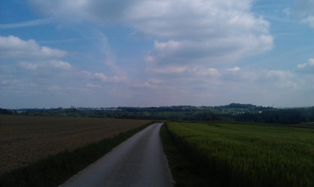
Dies ist die RTF von Velbert, wir sind die 45 Kilometerrunde gefahren, war eine schöne Strecke. Die Orga müsste mit den Versorgungspunkten nochmal was verbessern, aber im grossen und ganze war es ein schöner Tag.
Galerija izletov
Zemljevid in višinski profil izleta
Minimum height 87 m
Maximum height 268 m
Komentarji

Poti GPS
Trackpoints-
GPX / Garmin Map Source (gpx) download
-
TCX / Garmin Training Center® (tcx) download
-
CRS / Garmin Training Center® (crs) download
-
Google Earth (kml) download
-
G7ToWin (g7t) download
-
TTQV (trk) download
-
Overlay (ovl) download
-
Fugawi (txt) download
-
Kompass (DAV) Track (tk) download
-
List z izleti (pdf) download
-
Original file of the author (gpx) download
Add to my favorites
Remove from my favorites
Edit tags
Open track
My score
Rate


