


Tolle kleine Wanderung mit Start in Schwarzenbach, einem kleinen Ortsteil von Homburg.
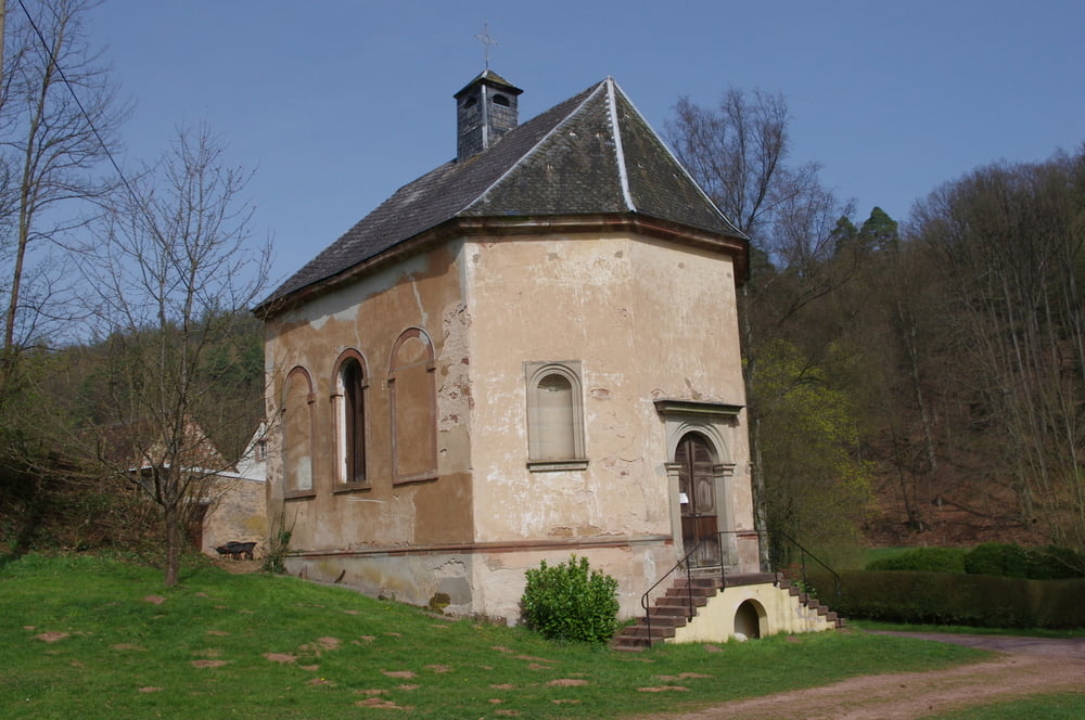
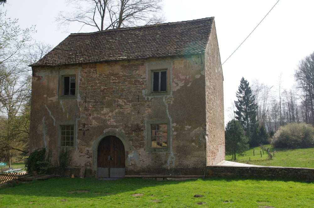
Die Straße runter und über die Brücke nach Wörschweiler. Ich verließ den Ort auf dem Radweg entlang der Straße nach Süden. Leider endete der Radweg und ich wich auf die Wiese aus. Nicht lange danach führte mich ein Forstweg zu einem Gehöft neben dem eine Kapelle und eine alte Schmiede steht.
Ein sehr schönes Ensemble.
Danach stieg der Forstweg an und ich erreichte die Höhe. Ich folgte verschiedenen Forstwegen und erreichte nach einer Höhendelle den Hügel "Auf dem Schucht". Dort befindet sich ein sehr schöner Aussichtspunkt der den Weg auf jeden Fall lohnt.
Nach der "Überschreitung wanderte ich auf Forstwegen über den Klosterberg zur Klosterruine Wörschweiler von der ich eine tolle Aussicht über das Bliestal hatte.
Auf einem steilen Pfad gelangte ich nach unten und war auch bald am Ausgangspunkt.
Further information at
https://de.wikipedia.org/wiki/Schwarzenbach_(Homburg)Galerija izletov

Zemljevid in višinski profil izleta
Minimum height 226 m
Maximum height 365 m
More about the tour author
|
|
Pheinz |
Komentarji

In Schwarzenbach geht es los.
Poti GPS
Trackpoints-
GPX / Garmin Map Source (gpx) download
-
TCX / Garmin Training Center® (tcx) download
-
CRS / Garmin Training Center® (crs) download
-
Google Earth (kml) download
-
G7ToWin (g7t) download
-
TTQV (trk) download
-
Overlay (ovl) download
-
Fugawi (txt) download
-
Kompass (DAV) Track (tk) download
-
List z izleti (pdf) download
-
Original file of the author (gpx) download
More about the tour author
|
|
Pheinz |
Add to my favorites
Remove from my favorites
Edit tags
Open track
My score
Rate