Login

Si pozabil/a podatke za prijavo?

Cookies have to be accepted!
Your browser's cookie functionality is disabled. Please enable this functionality.

Not a member yet?

Register now
Login

Available for registred users only

Log in to use this feature.

Si pozabil/a podatke za prijavo?

Cookies have to be accepted!
Your browser's cookie functionality is disabled. Please enable this functionality.

Not a member yet?

Register now
Filter
Kategorije
Advanced filters
  • Dolžina (km)
  • Metri nadmorske višine
Shrani filter Reset filter

TrackRank

QRCode

Technical data

Dolžina2,6 km Metri nadmorske višine38 m Way down39 m Trajanje00:35 h:m Datum08.05.2014
Ocene Author Pokrajina Dejavnik zabave Kondicija Tehnika

Statistika

129 Pogledi Ocene 6 Prenosi Povprečje
Rate
  • List z izleti
  • Prihod
  • Prenosi

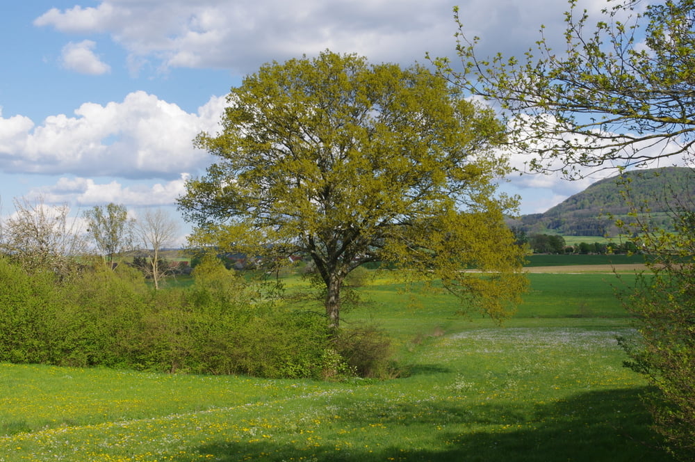
Kurze Runde im Bereich des Schlierbaches bei Oberböbingen.

Auf dem unteren Weg geht es auf der Ungerhalde bus zum Bubenrain und dann in Richtung Bruckholz um dann auf einem neuen Flurbereinigungsweg auf den alten Feldweg zurück in den Ort zu gelangen.
Den Burren runter und durch das Oberdorf zurück zur Michaelskirche.


Further information at

http://www.boebingen.de/index.php?id=47

Galerija izletov

Zemljevid in višinski profil izleta

  • Open Street Map
  • Google
Minimum height 398 m Maximum height 426 m Prikaz podrobnosti

More about the tour author

Pheinz
Member since 2009

Send private message

Komentarji

An der evangelischen Kirche in Oberböbingen geht es los.

Poti GPS

Trackpoints
  • GPX / Garmin Map Source (gpx) download
  • TCX / Garmin Training Center® (tcx) download
  • CRS / Garmin Training Center® (crs) download
  • Google Earth (kml) download
  • G7ToWin (g7t) download
  • TTQV (trk) download
  • Overlay (ovl) download
  • Fugawi (txt) download
  • Kompass (DAV) Track (tk) download
  • List z izleti (pdf) download
  • Original file of the author (gpx) download

More about the tour author

Pheinz
Member since 2009

Send private message
Share track
Add to my favorites
Remove from my favorites
Edit tags
My score
Rate
Izlet: 140420-Schlierbachrunde
Vrsta: Pešačenje
Dolžina: 2,6 km
Evaluated on:
Trajanje:
Day(s)
Hour(s)
Minute(s)
Ocena: Pokrajina Dejavnik zabave Kondicija Tehnika