Login

Si pozabil/a podatke za prijavo?

Cookies have to be accepted!
Your browser's cookie functionality is disabled. Please enable this functionality.

Not a member yet?

Register now
Login

Available for registred users only

Log in to use this feature.

Si pozabil/a podatke za prijavo?

Cookies have to be accepted!
Your browser's cookie functionality is disabled. Please enable this functionality.

Not a member yet?

Register now
Filter
Kategorije
Advanced filters
  • Dolžina (km)
  • Metri nadmorske višine
Shrani filter Reset filter

TrackRank

QRCode

Technical data

Dolžina44,4 km Metri nadmorske višine402 m Way down420 m Trajanje00:00 h:m Datum19.05.2014
Ocene Author Pokrajina Dejavnik zabave Kondicija Tehnika

Statistika

960 Pogledi Ocene 184 Prenosi Povprečje
Rate
  • List z izleti
  • Prihod
  • Prenosi
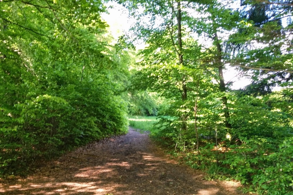
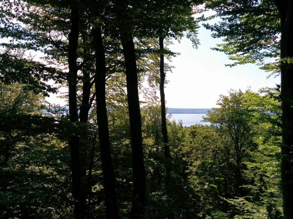
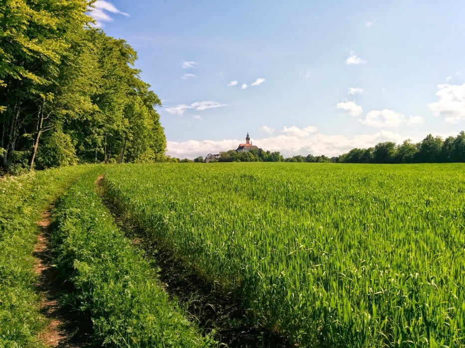
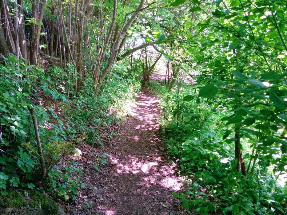
In Anlehnung an den Andechser Holy trail, nur diesmal mit Start- und Endpunkt in Steinebach am Wörthsee.

Galerija izletov

Zemljevid in višinski profil izleta

  • Open Street Map
  • Google
Minimum height 519 m Maximum height 679 m Prikaz podrobnosti

More about the tour author

AndreasTuerk
Member since 2014

Send private message

Komentarji

Startpunk ist der S-Bahnhof Steinebach, von da geht es südlich am Wörthsee vorbei zum Ammersee.

Poti GPS

Trackpoints
  • GPX / Garmin Map Source (gpx) download
  • TCX / Garmin Training Center® (tcx) download
  • CRS / Garmin Training Center® (crs) download
  • Google Earth (kml) download
  • G7ToWin (g7t) download
  • TTQV (trk) download
  • Overlay (ovl) download
  • Fugawi (txt) download
  • Kompass (DAV) Track (tk) download
  • List z izleti (pdf) download
  • Original file of the author (gpx) download

More about the tour author

AndreasTuerk
Member since 2014

Send private message
Share track
Add to my favorites
Remove from my favorites
Edit tags
My score
Rate
Izlet: Steinebach - Andechs trails
Vrsta: Gorsko kolo
Dolžina: 44,4 km
Evaluated on:
Trajanje:
Day(s)
Hour(s)
Minute(s)
Ocena: Pokrajina Dejavnik zabave Kondicija Tehnika