


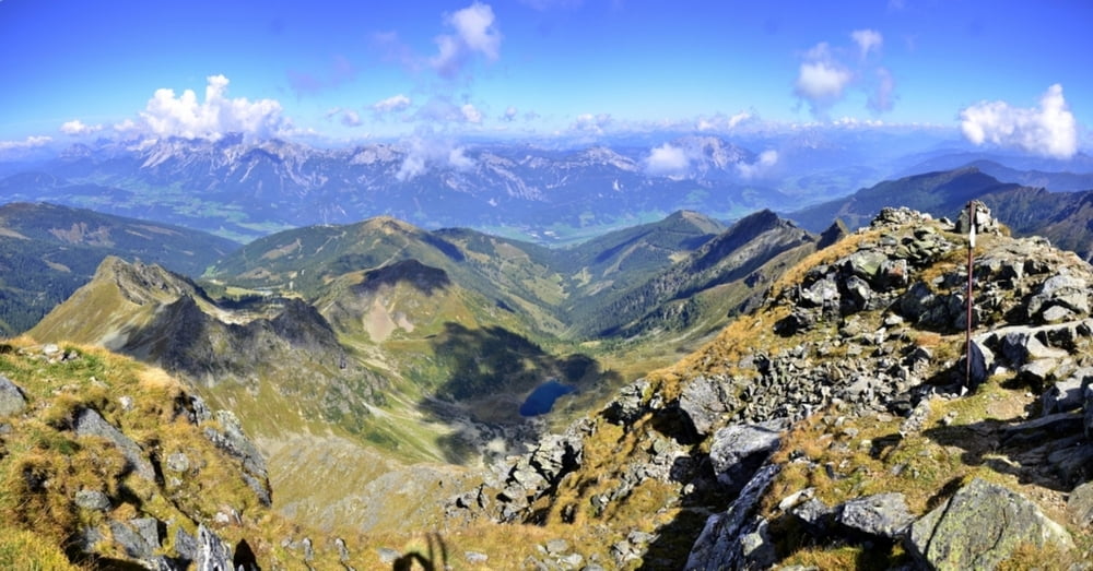
Es gibt hier mehrere Möglichkeiten diesen Berg zu besteigen. Riesachsee, Hauser Kaibling, Seewigtal oder Gumpental.
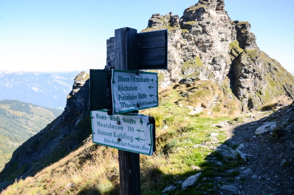
Startpunkt bei dieser Route ist in der Stanglalm im Gumpental. Eine Stunde lang geht es über einen Güterweg bis zum Moaralmsee. Von dort links hinauf zur unteren Filzscharte wo dann der Weg von der Hans Wödl Hütte heraufkommt. Weiter geht es zur oberen Filzscharte. Kurz danach hat man nochmals die Möglichkeit den etwas ausgesetzten Pad oder den Normalweg zum Gipfel zu nehmen. Der Rückweg führt dann wieder Richtung Westen um die Moaralmspitze und Karlspitze zum Moaralmsee.
Galerija izletov
Zemljevid in višinski profil izleta
Minimum height 1354 m
Maximum height 2502 m
More about the tour author
|
|
Weebe60 |
Komentarji

Abfahrt ist in Ruperting (Haus im Ennstal) in das Gumpental bis die Straße endet.
Poti GPS
Trackpoints-
GPX / Garmin Map Source (gpx) download
-
TCX / Garmin Training Center® (tcx) download
-
CRS / Garmin Training Center® (crs) download
-
Google Earth (kml) download
-
G7ToWin (g7t) download
-
TTQV (trk) download
-
Overlay (ovl) download
-
Fugawi (txt) download
-
Kompass (DAV) Track (tk) download
-
List z izleti (pdf) download
-
Original file of the author (gpx) download
More about the tour author
|
|
Weebe60 |
Add to my favorites
Remove from my favorites
Edit tags
Open track
My score
Rate