


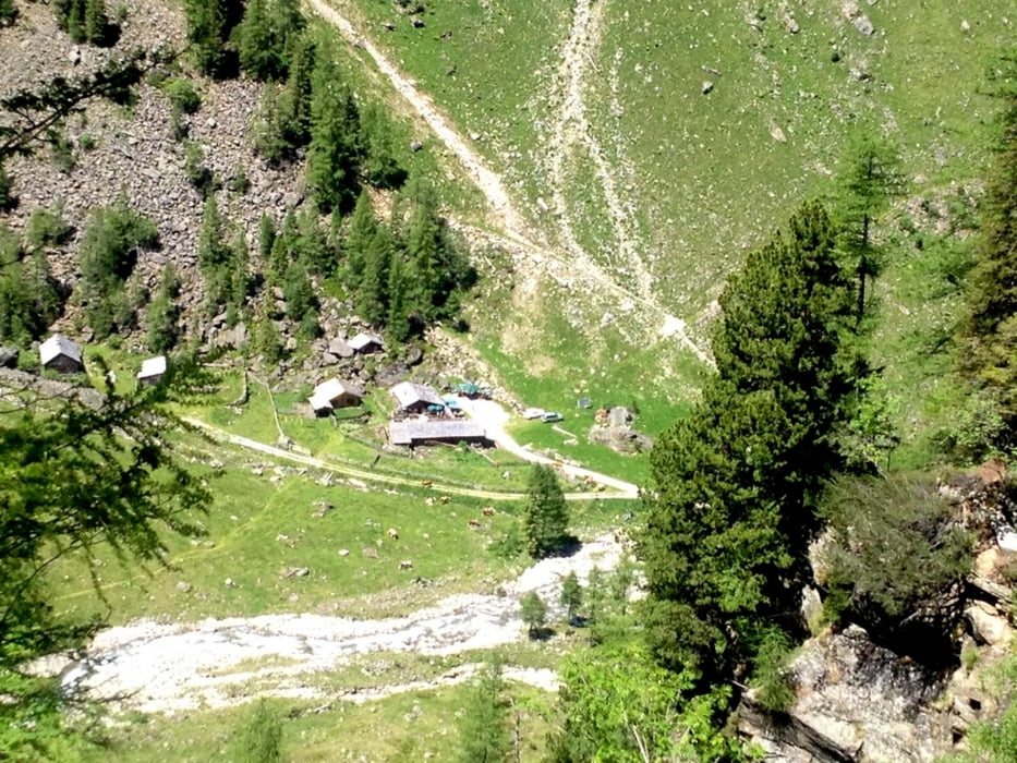
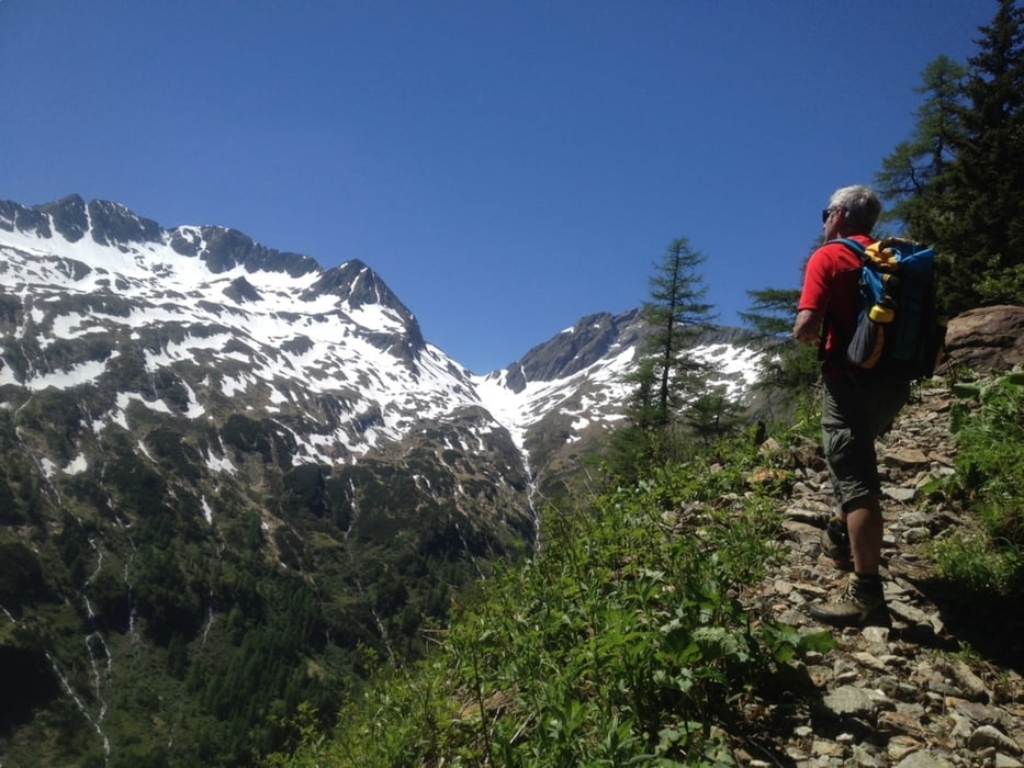
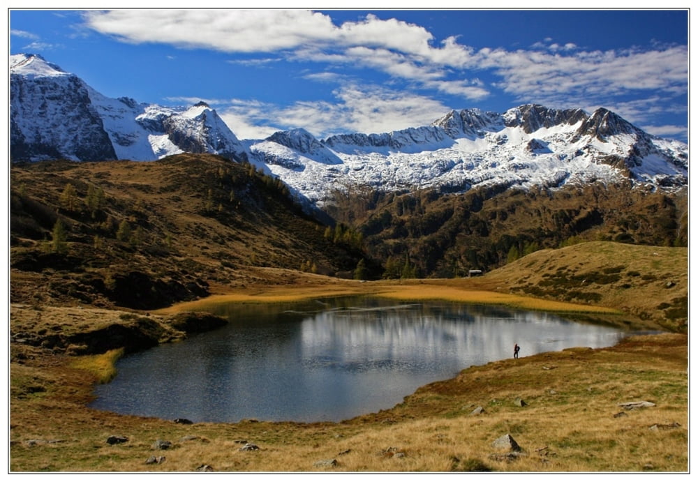
Ein Forstweg führt 6 km bis zur Putzentalalm vorbei am Schwarzensee. Dieser Weg ist sogar Kinderwagentauglich darf aber mit Fahrrädern nicht befahren werden. Ab der Alm geht es weiter Richtung Kaiserscharte und Landschitzscharte, zum See gibt es keinen Hinweis. Danach dem Track folgen da der Weg auf den Lemperkarsee auch nicht markiert, jedoch leicht ersichtlich ist. Über das Panorama sollte sich jeder seine eigene Meinung bilden.
Galerija izletov
Zemljevid in višinski profil izleta
Minimum height 1071 m
Maximum height 1853 m
More about the tour author
|
|
Weebe60 |
Komentarji

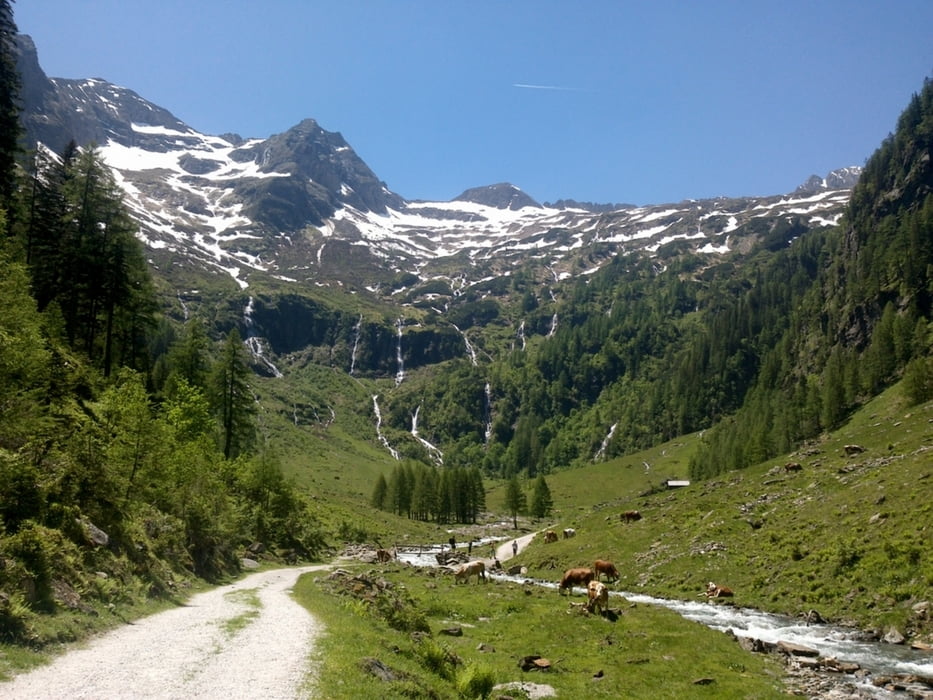
Von Stein an der Enns fährt man 17 km Richung Kleinsölk bis man am Parkplatz zur Breitlahnalm ankommt, (Mautgebühr 8€)
Poti GPS
Trackpoints-
GPX / Garmin Map Source (gpx) download
-
TCX / Garmin Training Center® (tcx) download
-
CRS / Garmin Training Center® (crs) download
-
Google Earth (kml) download
-
G7ToWin (g7t) download
-
TTQV (trk) download
-
Overlay (ovl) download
-
Fugawi (txt) download
-
Kompass (DAV) Track (tk) download
-
List z izleti (pdf) download
-
Original file of the author (gpx) download
More about the tour author
|
|
Weebe60 |
Add to my favorites
Remove from my favorites
Edit tags
Open track
My score
Rate