


Nette Runde von Starnberg aus an und durch die Maisinger Schlucht.
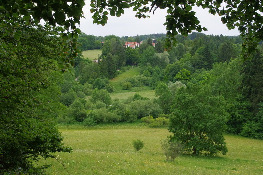
Start am Hotel Bayerischer Hof und durch den Ort zum Wasserwerk und in das schöne Wiesental. Ich nahm die nördliche Höhe über wunderschöne Wiesenhügel und durch den Wald zum kleinen Ort Maising.
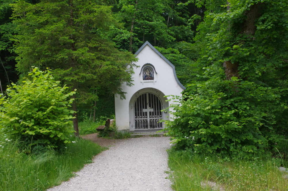
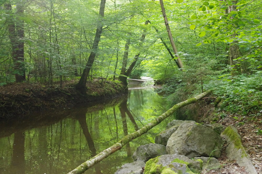
In einem Bogen wendete ich mich zur Schlucht und konnte mich während ich zurückwanderte an den Nagelfluhfelsen freuen. Nach dem relativ engen Tal folgte ein Stück durch die Wiesen und immer weiter am Bach entlang und dann auf der schmale Pfad auf dem ehemaligen Mühlgraben entlang zur Treppe.
Dort hoch und durch die Siedlung zur Fischzuchtanlage und am eingedämmten Bach weiter zum Ausgangspunkt zurück.
Hat Spass gemacht.
Further information at
http://www.allgaeu-ausfluege.de/wegMaisschlucht.htmGalerija izletov

Zemljevid in višinski profil izleta
Minimum height 585 m
Maximum height 662 m
More about the tour author
|
|
Pheinz |
Komentarji

Direkt beim Hotel Byerischer Hof geht es los.
Poti GPS
Trackpoints-
GPX / Garmin Map Source (gpx) download
-
TCX / Garmin Training Center® (tcx) download
-
CRS / Garmin Training Center® (crs) download
-
Google Earth (kml) download
-
G7ToWin (g7t) download
-
TTQV (trk) download
-
Overlay (ovl) download
-
Fugawi (txt) download
-
Kompass (DAV) Track (tk) download
-
List z izleti (pdf) download
-
Original file of the author (gpx) download
More about the tour author
|
|
Pheinz |
Add to my favorites
Remove from my favorites
Edit tags
Open track
My score
Rate