


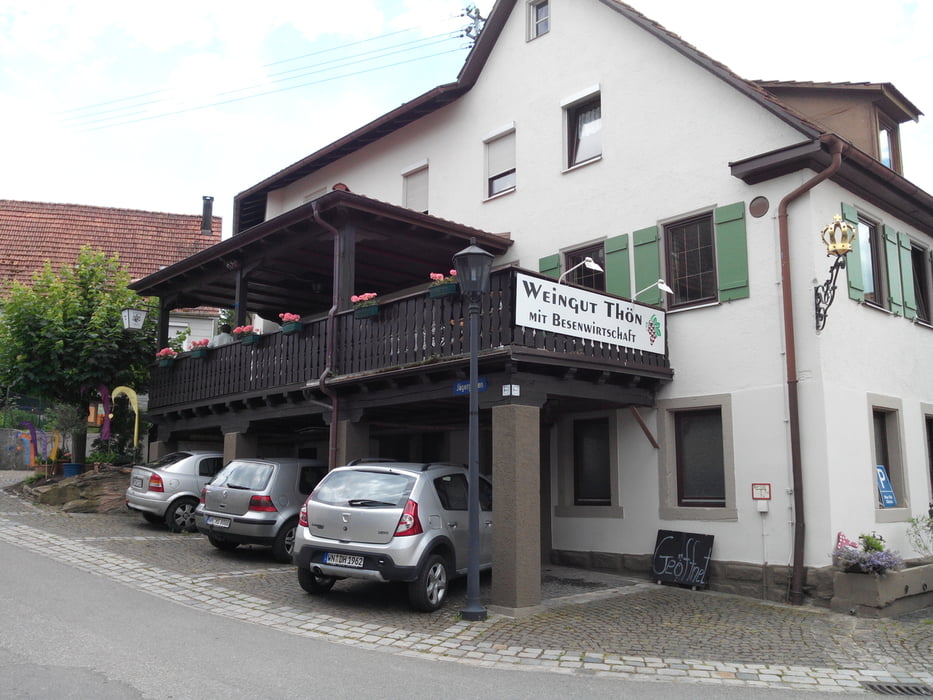
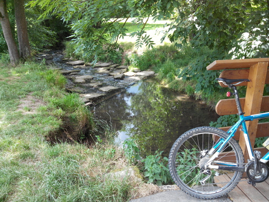
Die Tour beginnt an der neuen Kelter in Fellbach. Sie führt zunächst in Richtung Waiblingen über Fahrrad- und Feldwege. Vorbei an Korb geht es ein wenig bergauf nach Buoch in den Wald hinein. Von dort aus weiter an Hößlinswart vorbei auf Waldwegen bis nach Mannshaupten. Dort kann man evtl. eine kleine Rast machen. Danach gehts weiter nach Steinach, Erlenhof, Neumühle, Birkmannweiler, Höfen bis nach Winnenden auf Feld- und Radwegen. Von dort aus weiter über Gollenhof, Zillhardtshof, Hohenacker, Hegnach zurück zum Ausgangspunkt nach Fellbach. Die Tour ist auch gut mit einem Trekkingfahrrad zu fahren.
Über einen Kommentar oder Anregungen würde ich mich freuen.
Further information at
http://www.fellbach.deGalerija izletov


Zemljevid in višinski profil izleta
Minimum height 214 m
Maximum height 521 m
More about the tour author
|
|
jogotogo |
Komentarji

Neue Kelter, Kappelbergstr. 48, 70734 Fellbach
Poti GPS
Trackpoints-
GPX / Garmin Map Source (gpx) download
-
TCX / Garmin Training Center® (tcx) download
-
CRS / Garmin Training Center® (crs) download
-
Google Earth (kml) download
-
G7ToWin (g7t) download
-
TTQV (trk) download
-
Overlay (ovl) download
-
Fugawi (txt) download
-
Kompass (DAV) Track (tk) download
-
List z izleti (pdf) download
-
Original file of the author (gpx) download
More about the tour author
|
|
jogotogo |
Add to my favorites
Remove from my favorites
Edit tags
Open track
My score
Rate