Login

Si pozabil/a podatke za prijavo?

Cookies have to be accepted!
Your browser's cookie functionality is disabled. Please enable this functionality.

Not a member yet?

Register now
Login

Available for registred users only

Log in to use this feature.

Si pozabil/a podatke za prijavo?

Cookies have to be accepted!
Your browser's cookie functionality is disabled. Please enable this functionality.

Not a member yet?

Register now
Filter
Kategorije
Advanced filters
  • Dolžina (km)
  • Metri nadmorske višine
Shrani filter Reset filter

TrackRank

QRCode

Technical data

Dolžina40,1 km Metri nadmorske višine607 m Way down608 m Trajanje02:20 h:m Datum01.07.2014
Ocene Author Pokrajina Dejavnik zabave Kondicija Tehnika

Statistika

838 Pogledi Ocene 89 Prenosi Povprečje
Rate
  • List z izleti
  • Prihod
  • Prenosi

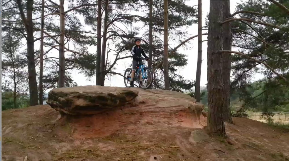
Es handelt sich um eine neue Variation der Kalchreuth 1 und Tennenlohe Reichswald Touren, mit einigen neuen Trails. Startpunkt ist diesmal wieder Erlangen.

Wir sind in der Stadtmitte losgefahren, der alte Schiessplatz in Tennenlohe wird allerdings am Hin- und Rückweg passiert, so dass sich dieser als idealer Startpunkt anbietet.

Über das Gelände muss nicht mehr viel gesagt warden.

Der Trailanteil beträgt locker 50% der Strecke ab dem Schiessplatz.

Viel Spaß

 Achtung: ich wurde darauf hingewiesen, dass im Reichswald das Trailfahren verboten ist und dass dies wohl auch bekannt wäre und die Polizei sogar Kontrollen durchführt. Was für eine drastische Strafe man zu erwarten hat ist mir nicht bekannt. Ich bin im letzten Jahr dort ca. 30 mal gefahren und habe keine Polizei gesehen, aber das soll mal nix heissen.....

Zemljevid in višinski profil izleta

  • Open Street Map
  • Google
Minimum height 320 m Maximum height 446 m Prikaz podrobnosti

More about the tour author

cbg
Member since 2013

Send private message

Komentarji

bug3 on 10.09.2014

Trailbenutzung ist verboten

Die Benutzung der Kalchreuth-Trails ist schon seit längerem verboten. Es kommt immer wieder zu Polizeieinsätzen in diesem Gebiet.

Jeder sollte für sich selbst entscheiden, ob er die Trails nutzen möchte, aber eine Anmerkung in der Beschreibung wäre doch angebracht.

Poti GPS

Trackpoints
  • GPX / Garmin Map Source (gpx) download
  • TCX / Garmin Training Center® (tcx) download
  • CRS / Garmin Training Center® (crs) download
  • Google Earth (kml) download
  • G7ToWin (g7t) download
  • TTQV (trk) download
  • Overlay (ovl) download
  • Fugawi (txt) download
  • Kompass (DAV) Track (tk) download
  • List z izleti (pdf) download
  • Original file of the author (gpx) download

More about the tour author

cbg
Member since 2013

Send private message
Share track
Add to my favorites
Remove from my favorites
Edit tags
My score
Rate
Izlet: Tennenlohe - Kalchreuth 2
Vrsta: Gorsko kolo
Dolžina: 40,1 km
Evaluated on:
Trajanje:
Day(s)
Hour(s)
Minute(s)
Ocena: Pokrajina Dejavnik zabave Kondicija Tehnika