


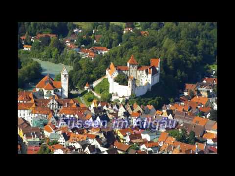
Start der Tour in Füssen - empfehle jedem der im Bereich Füssen und Forggensee flotter das Rennrad bewegen will, entgegen meiner Route, vom Radweg auf die Straße auszuweichen.
Ein Ausfahrt in schöner Gegend, auf wenig gefahren Straßen.
Streckenführung:
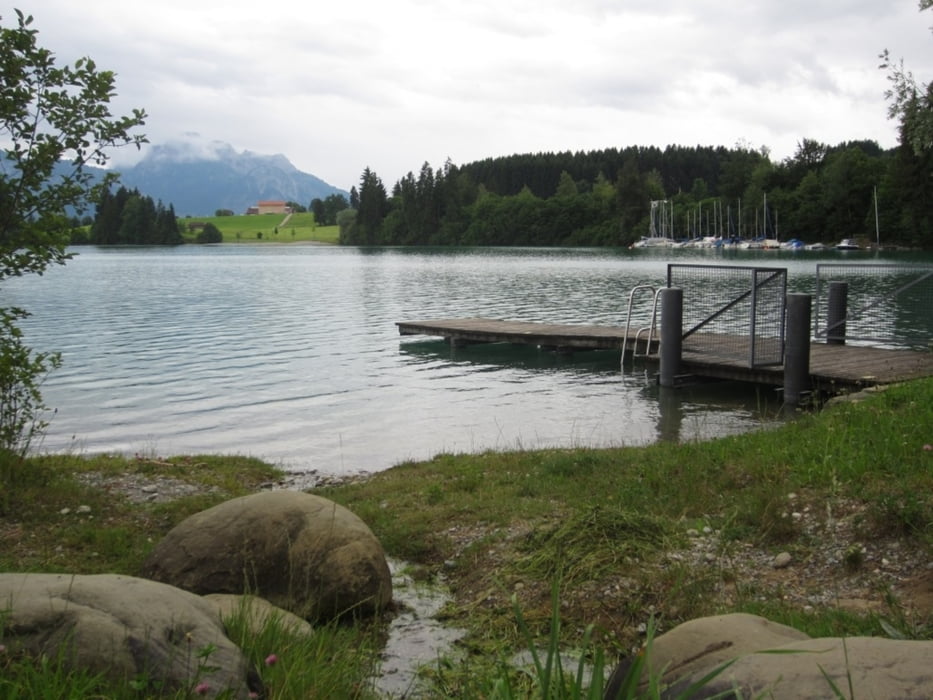
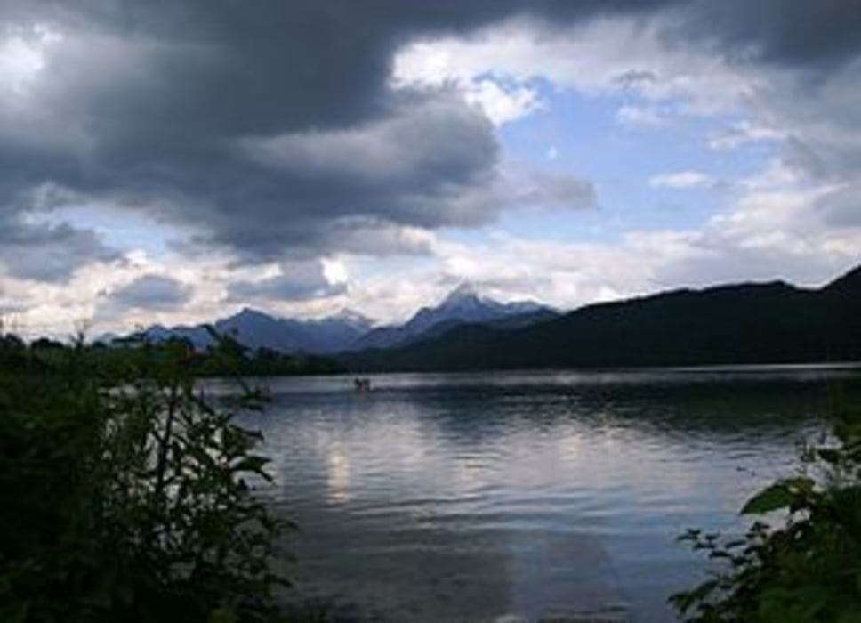
Füssen - Schwangau - Bannwaldsee - Bayerniederhofen - Unterreithen - Lechbruck am See - Lechsee - Dessau - Bernbeuren - Remnatsried - Unterbuchen - Steinbach - Rosshaupten - Ried - Rossfallen - Unterhalden - Unterlangegg - Hopferau - Weissensee - Füssen
Further information at
http://de.wikipedia.org/wiki/Wei%C3%9Fensee_%28See_im_Allg%C3%A4u%29Galerija izletov


Zemljevid in višinski profil izleta
Minimum height 687 m
Maximum height 897 m
More about the tour author
|
|
der_Bergverfuehrer |
Komentarji

münchen - A96 - landsberg - B17 - schongau - B17 - füssen
Poti GPS
Trackpoints-
GPX / Garmin Map Source (gpx) download
-
TCX / Garmin Training Center® (tcx) download
-
CRS / Garmin Training Center® (crs) download
-
Google Earth (kml) download
-
G7ToWin (g7t) download
-
TTQV (trk) download
-
Overlay (ovl) download
-
Fugawi (txt) download
-
Kompass (DAV) Track (tk) download
-
List z izleti (pdf) download
-
Original file of the author (gpx) download
More about the tour author
|
|
der_Bergverfuehrer |
Add to my favorites
Remove from my favorites
Edit tags
Open track
My score
Rate