Login

Si pozabil/a podatke za prijavo?

Cookies have to be accepted!
Your browser's cookie functionality is disabled. Please enable this functionality.

Not a member yet?

Register now
Login

Available for registred users only

Log in to use this feature.

Si pozabil/a podatke za prijavo?

Cookies have to be accepted!
Your browser's cookie functionality is disabled. Please enable this functionality.

Not a member yet?

Register now
Filter
Kategorije
Advanced filters
  • Dolžina (km)
  • Metri nadmorske višine
Shrani filter Reset filter

TrackRank

QRCode

Technical data

Dolžina88,9 km Metri nadmorske višine1611 m Way down1602 m Trajanje00:04 h:m Datum03.08.2014
Ocene Author Pokrajina Dejavnik zabave Kondicija Tehnika

Statistika

144 Pogledi Ocene 26 Prenosi Povprečje
Rate
  • List z izleti
  • Prihod
  • Prenosi

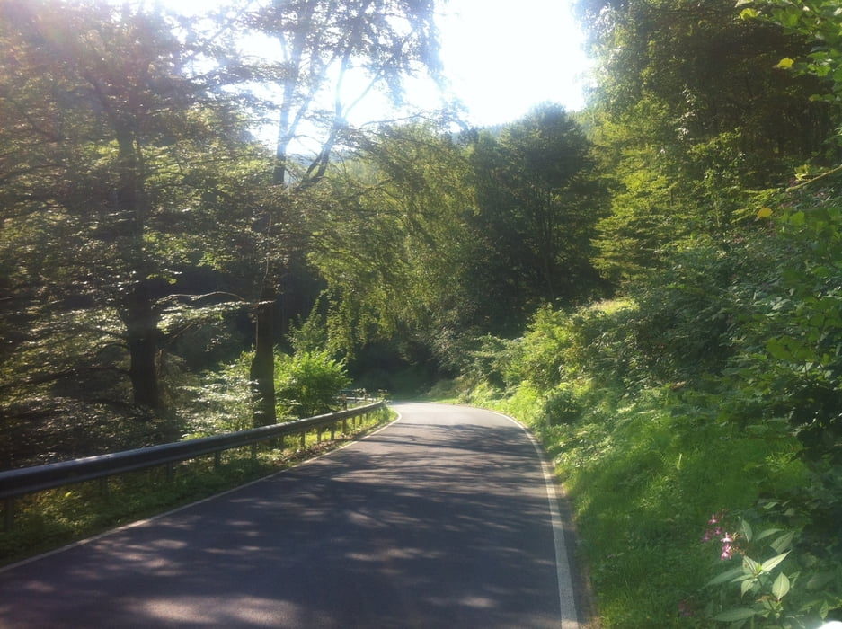
DieTour habe ich aus dem Tour-Magazin (10/2013) entnommen. Sehr schön, auf ruhigen Wegen und mit viel Abwechslung. Der Anstieg zum hohen Meissner hat es in sich, teilweise sehr steil.

Ab und an war der Strassenbelag nicht so gut, da sollte man etwas aufpassen.


Galerija izletov

Zemljevid in višinski profil izleta

  • Open Street Map
  • Google
Minimum height 164 m Maximum height 698 m Prikaz podrobnosti

More about the tour author

wluehdorff
Member since 2008

Send private message

Komentarji

Ich konnte gut parken am Sportplatz in Niestetal, wie es auch im Bericht der Tour vorgeschlagen wurde.


Poti GPS

Trackpoints
  • GPX / Garmin Map Source (gpx) download
  • TCX / Garmin Training Center® (tcx) download
  • CRS / Garmin Training Center® (crs) download
  • Google Earth (kml) download
  • G7ToWin (g7t) download
  • TTQV (trk) download
  • Overlay (ovl) download
  • Fugawi (txt) download
  • Kompass (DAV) Track (tk) download
  • List z izleti (pdf) download
  • Original file of the author (tcx) download

More about the tour author

wluehdorff
Member since 2008

Send private message
Share track
Add to my favorites
Remove from my favorites
Edit tags
My score
Rate
Izlet: Tour-Tour durchs Niestetal
Vrsta: Dirkalno kolo
Dolžina: 88,9 km
Evaluated on:
Trajanje:
Day(s)
Hour(s)
Minute(s)
Ocena: Pokrajina Dejavnik zabave Kondicija Tehnika