Login

Si pozabil/a podatke za prijavo?

Cookies have to be accepted!
Your browser's cookie functionality is disabled. Please enable this functionality.

Not a member yet?

Register now
Login

Available for registred users only

Log in to use this feature.

Si pozabil/a podatke za prijavo?

Cookies have to be accepted!
Your browser's cookie functionality is disabled. Please enable this functionality.

Not a member yet?

Register now
Filter
Kategorije
Advanced filters
  • Dolžina (km)
  • Metri nadmorske višine
Shrani filter Reset filter

TrackRank

QRCode

Technical data

Dolžina7,0 km Metri nadmorske višine841 m Way down59 m Trajanje00:00 h:m Datum21.08.2014
Ocene Author Pokrajina Dejavnik zabave Kondicija Tehnika

Statistika

455 Pogledi Ocene 15 Prenosi Povprečje
Rate
  • List z izleti
  • Prihod
  • Prenosi

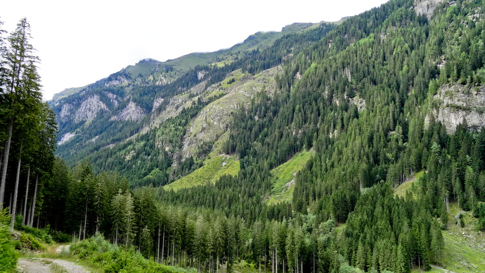
Start von Trebesingerhütte über die erste Brücke, danach gleich rechts auf den Forstweg bis man nach mehreren Kehren den Steig auf die Zlattinger Alm und schließlich ins Serzenmoos gelangt


Galerija izletov

Zemljevid in višinski profil izleta

  • Open Street Map
  • Google
Minimum height 1078 m Maximum height 1909 m Prikaz podrobnosti

More about the tour author

kateem
Member since 2010

Send private message

Komentarji

Poti GPS

Trackpoints
  • GPX / Garmin Map Source (gpx) download
  • TCX / Garmin Training Center® (tcx) download
  • CRS / Garmin Training Center® (crs) download
  • Google Earth (kml) download
  • G7ToWin (g7t) download
  • TTQV (trk) download
  • Overlay (ovl) download
  • Fugawi (txt) download
  • Kompass (DAV) Track (tk) download
  • List z izleti (pdf) download
  • Original file of the author (gpx) download

More about the tour author

kateem
Member since 2010

Send private message
Share track
Add to my favorites
Remove from my favorites
Edit tags
My score
Rate
Izlet: Serzenmoos von Braunegger Hütte
Vrsta: Pešačenje
Dolžina: 7,0 km
Evaluated on:
Trajanje:
Day(s)
Hour(s)
Minute(s)
Ocena: Pokrajina Dejavnik zabave Kondicija Tehnika