Login

Si pozabil/a podatke za prijavo?

Cookies have to be accepted!
Your browser's cookie functionality is disabled. Please enable this functionality.

Not a member yet?

Register now
Login

Available for registred users only

Log in to use this feature.

Si pozabil/a podatke za prijavo?

Cookies have to be accepted!
Your browser's cookie functionality is disabled. Please enable this functionality.

Not a member yet?

Register now
Filter
Kategorije
Advanced filters
  • Dolžina (km)
  • Metri nadmorske višine
Shrani filter Reset filter

TrackRank

QRCode

Technical data

Dolžina44,5 km Metri nadmorske višine1011 m Way down1005 m Trajanje03:45 h:m Datum29.09.2014
Ocene Author Pokrajina Dejavnik zabave Kondicija Tehnika

Statistika

231 Pogledi Ocene 16 Prenosi Povprečje
Rate
  • List z izleti
  • Prihod
  • Prenosi

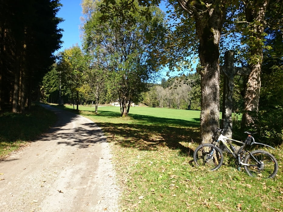
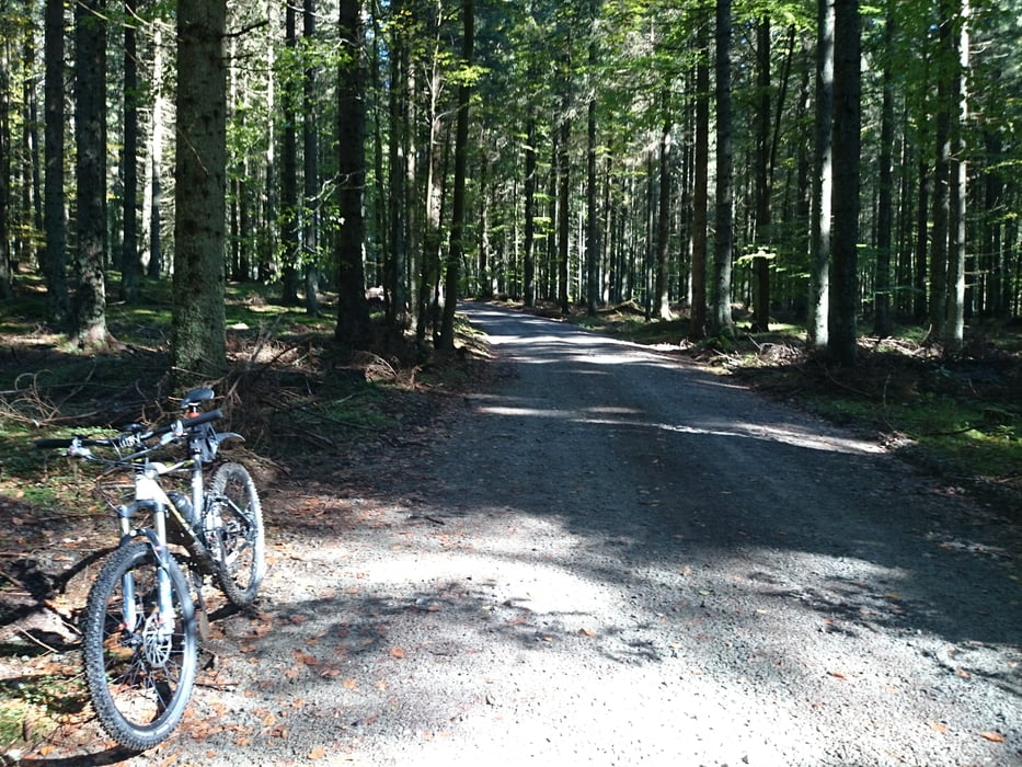
Diese Tour führt auch auf Asphalt und Forststraßen direkt in die weitverzweigten Wälder. Ich werde die Tour noch verfeinern, so ist sie noch nicht perfekt. Bitte auf update warten.


Galerija izletov

Zemljevid in višinski profil izleta

  • Open Street Map
  • Google
Minimum height 672 m Maximum height 978 m Prikaz podrobnosti

More about the tour author

rjkas
Member since 2003

Send private message

Komentarji

Poti GPS

Trackpoints
  • GPX / Garmin Map Source (gpx) download
  • TCX / Garmin Training Center® (tcx) download
  • CRS / Garmin Training Center® (crs) download
  • Google Earth (kml) download
  • G7ToWin (g7t) download
  • TTQV (trk) download
  • Overlay (ovl) download
  • Fugawi (txt) download
  • Kompass (DAV) Track (tk) download
  • List z izleti (pdf) download
  • Original file of the author (tcx) download

More about the tour author

rjkas
Member since 2003

Send private message
Share track
Add to my favorites
Remove from my favorites
Edit tags
My score
Rate
Izlet: Sandler Forste
Vrsta: Gorsko kolo
Dolžina: 44,5 km
Evaluated on:
Trajanje:
Day(s)
Hour(s)
Minute(s)
Ocena: Pokrajina Dejavnik zabave Kondicija Tehnika