Login

Si pozabil/a podatke za prijavo?

Cookies have to be accepted!
Your browser's cookie functionality is disabled. Please enable this functionality.

Not a member yet?

Register now
Login

Available for registred users only

Log in to use this feature.

Si pozabil/a podatke za prijavo?

Cookies have to be accepted!
Your browser's cookie functionality is disabled. Please enable this functionality.

Not a member yet?

Register now
Filter
Kategorije
Advanced filters
  • Dolžina (km)
  • Metri nadmorske višine
Shrani filter Reset filter

TrackRank

QRCode

Technical data

Dolžina9,0 km Metri nadmorske višine150 m Way down147 m Trajanje02:00 h:m Datum09.10.2014
Ocene Author User Pokrajina Dejavnik zabave Kondicija Tehnika

Statistika

758 Pogledi 1 Ocena 60 Prenosi 4.00 Povprečje
Rate
  • List z izleti
  • Prihod
  • Prenosi

Rundtour um Walheim (bei Aachen).

Start Ziel ist der parkplatz Freizeitgelände Walheim.

Von dort folgen wir erst einmal dem Eifelsteig in Richtung Kornelimünster.

Hinter der Brücke an der Mündung "Inde / Interbach" verlassen wir den Eifelsteig, und wandern grob dem Interbach entgegen bis nach Walheim und weiter zum Ausgangspunkt (Freizeitgelände Walheim)
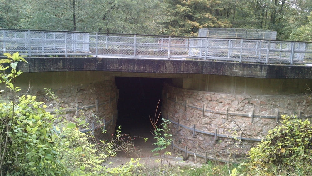
 

Galerija izletov

Zemljevid in višinski profil izleta

  • Open Street Map
  • Google
Minimum height 228 m Maximum height 293 m Prikaz podrobnosti

More about the tour author

hilli_ac
Member since 2010

Send private message

Komentarji

Poti GPS

Trackpoints
  • GPX / Garmin Map Source (gpx) download
  • TCX / Garmin Training Center® (tcx) download
  • CRS / Garmin Training Center® (crs) download
  • Google Earth (kml) download
  • G7ToWin (g7t) download
  • TTQV (trk) download
  • Overlay (ovl) download
  • Fugawi (txt) download
  • Kompass (DAV) Track (tk) download
  • List z izleti (pdf) download
  • Original file of the author (gpx) download

More about the tour author

hilli_ac
Member since 2010

Send private message
Share track
Add to my favorites
Remove from my favorites
Edit tags
My score
Rate
Izlet: Rund um Walheim
Vrsta: Pešačenje
Dolžina: 9,0 km
Evaluated on:
Trajanje:
Day(s)
Hour(s)
Minute(s)
Ocena: Pokrajina Dejavnik zabave Kondicija Tehnika