Login

Si pozabil/a podatke za prijavo?

Cookies have to be accepted!
Your browser's cookie functionality is disabled. Please enable this functionality.

Not a member yet?

Register now
Login

Available for registred users only

Log in to use this feature.

Si pozabil/a podatke za prijavo?

Cookies have to be accepted!
Your browser's cookie functionality is disabled. Please enable this functionality.

Not a member yet?

Register now
Filter
Kategorije
Advanced filters
  • Dolžina (km)
  • Metri nadmorske višine
Shrani filter Reset filter

TrackRank

QRCode

Technical data

Dolžina39,7 km Metri nadmorske višine315 m Way down314 m Trajanje02:30 h:m Datum19.10.2014
Ocene Author Pokrajina Dejavnik zabave Kondicija Tehnika

Statistika

340 Pogledi Ocene 36 Prenosi Povprečje
Rate
  • List z izleti
  • Prihod
  • Prenosi

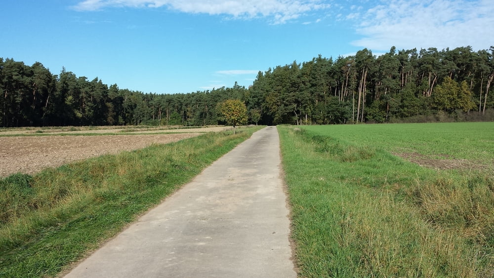
MTB-Tour von westlich von Schwabach, überwiegend auf Forstwegen und ab und an Wanderwege. Die Trails sind auch für Anfänger überwiegend gut zu fahren (S1 - S2).


Galerija izletov

Zemljevid in višinski profil izleta

  • Open Street Map
  • Google
Minimum height 328 m Maximum height 408 m Prikaz podrobnosti

More about the tour author

sundancer
Member since 2010

Send private message

Komentarji

Schwabach liegt ca. 15 km südwestlich von Nürnberg, direkt an der Autobahn A6. Ausfahrt Schwabach West nehmen. Parken am besten in der Waikersreuther Strasse an der Lebenshilfe oder an der Realschule.

Poti GPS

Trackpoints
  • GPX / Garmin Map Source (gpx) download
  • TCX / Garmin Training Center® (tcx) download
  • CRS / Garmin Training Center® (crs) download
  • Google Earth (kml) download
  • G7ToWin (g7t) download
  • TTQV (trk) download
  • Overlay (ovl) download
  • Fugawi (txt) download
  • Kompass (DAV) Track (tk) download
  • List z izleti (pdf) download
  • Original file of the author (gpx) download

More about the tour author

sundancer
Member since 2010

Send private message
Share track
Add to my favorites
Remove from my favorites
Edit tags
My score
Rate
Izlet: Nordwestlich von Schwabach
Vrsta: Gorsko kolo
Dolžina: 39,7 km
Evaluated on:
Trajanje:
Day(s)
Hour(s)
Minute(s)
Ocena: Pokrajina Dejavnik zabave Kondicija Tehnika