


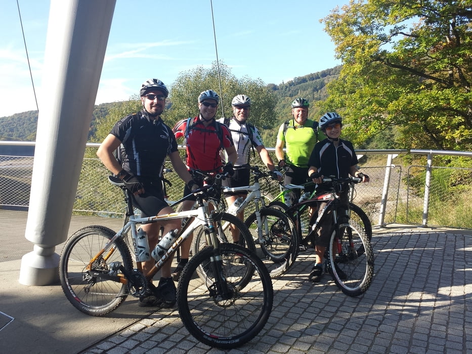
Diese Tour ist eine Rurseeumrundung. Man trennt sich allerdings relativ schnell vom Ufer (ab der Ruhrtalsperre) und nimmt Kurs auf Heimbach, Abtei Maria Wald und Burg Vogelsang. Highlights sind der Pilgerweg zum Kloster Maria Wald, der Anstieg zur Burg Vogelsang und die Abfahrt nach Einruhr. Technisch ist der Kurs einfach und ebenfalls ideal für Touren- und Trekkingbiker geeignet. Die Anstiege haben es teilweise jedoch in sich und man freut sich dann umso mehr, wenn man die hochgeradelte Strecke auch wieder hinunter fahren kann. Nicht vergessen sollte man bei der Tour die tolle Sicht auf den Rursee. Den detaillierten Tourenbericht gibt es auf mtb-schwalmtal.blogspot.de
PS: Der GPS Track ist leider nicht vollständig. Es fehlt der Beginn von Einruhr entlang am linken Ufer von Simmerath...
Galerija izletov


Zemljevid in višinski profil izleta
Minimum height 204 m
Maximum height 523 m
More about the tour author
|
|
MTB-Schwalmtal |
Komentarji

Start und Ziel ist Einruhr.
Parktipp: Bei Einruhr, hinter der Brücke auf der L266 gibt es diverse Parktaschen. Dort kann man super parken!
Poti GPS
Trackpoints-
GPX / Garmin Map Source (gpx) download
-
TCX / Garmin Training Center® (tcx) download
-
CRS / Garmin Training Center® (crs) download
-
Google Earth (kml) download
-
G7ToWin (g7t) download
-
TTQV (trk) download
-
Overlay (ovl) download
-
Fugawi (txt) download
-
Kompass (DAV) Track (tk) download
-
List z izleti (pdf) download
-
Original file of the author (tcx) download
More about the tour author
|
|
MTB-Schwalmtal |
Add to my favorites
Remove from my favorites
Edit tags
Open track
My score
Rate