


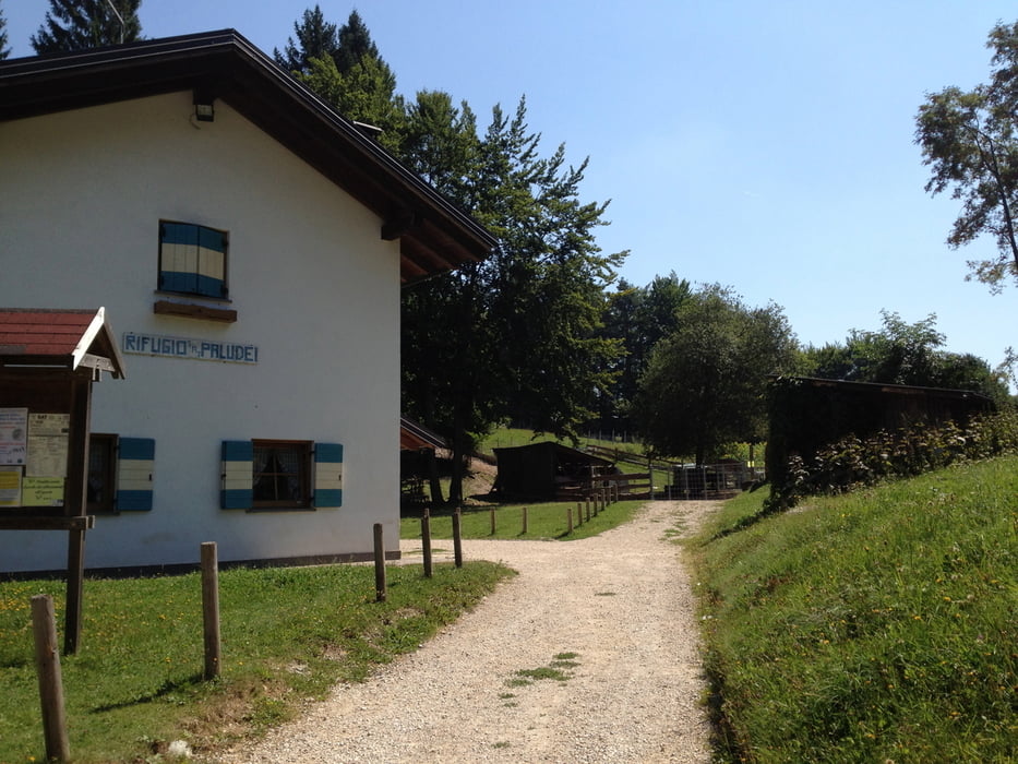
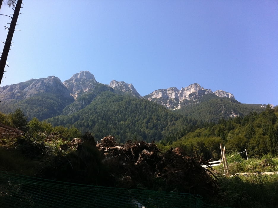
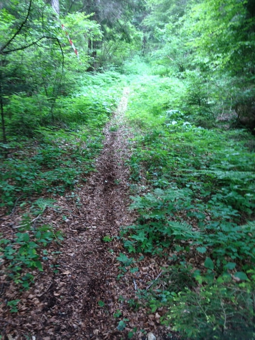
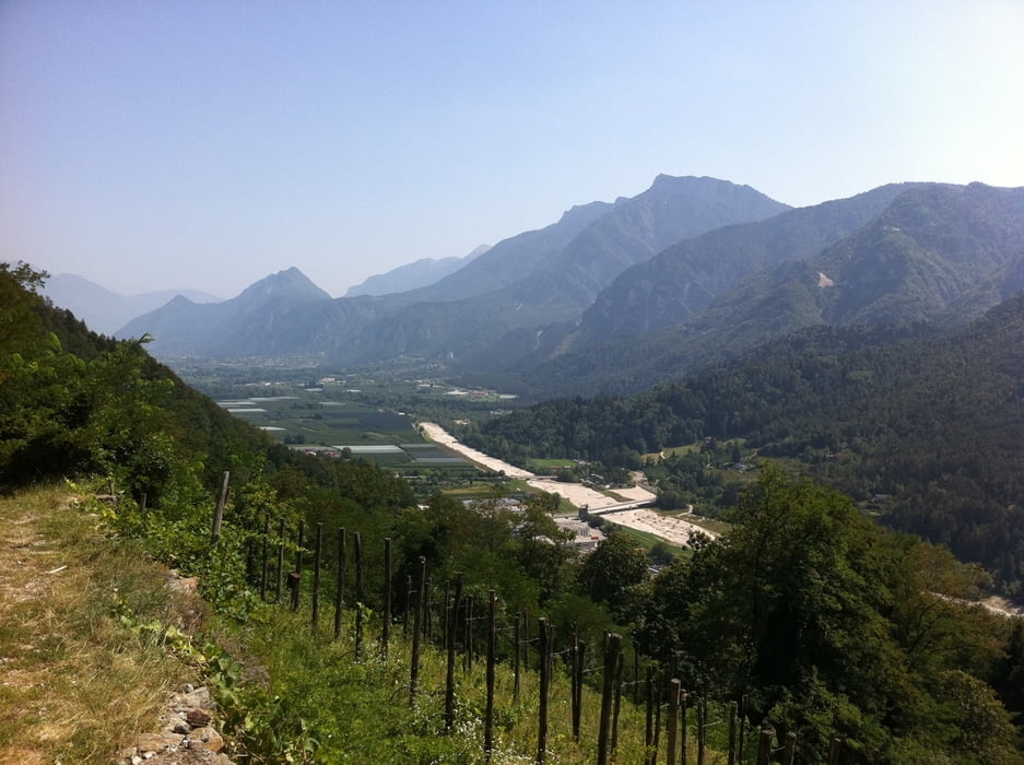
Du startest in Caldonazzo im Zentrum und nimmst die Straße Richtung Centa San Nicolo, nach wenigen Metern fährst du am sog. Castel Trapp vorbei. Du bleibst jedoch auf Asphalt bis Pian di Pradi. Von dort fährst du eine kleine Straße Richtung Rif. Paludai. Nach einer guten Stunde erreichst du das Rifugio. Dort kannst du dich stärken, bevor es teils bergab aber auch bergauf auf einer Schotterstrasse geht. An einer Stelle siehst du die Berge des Becco di Filadonna. Etwas später nimmst du einen Singletrail links weg (bergabwärst) von der Schotterstrasse. Dieser Abschnitt der Strecke ist nicht ohne. Nach etwa 20 Minuten erreichst du die Asphaltstrasse bei Vittaro. Auf der fährst du Richtung Campregheri. Ab hier hast du einfach nur Spass auf der alten Via Claudia Augusta. Zum Ende fährst du oberhalb von Caldonazzo an Weinbergen vorbei bis zum Castel Trapp.
Ein Aperetiv an der Bar Centro in Caldonazzo rundet die auch mögliche Feierabendrunde ab.
Galerija izletov
Zemljevid in višinski profil izleta
Minimum height 481 m
Maximum height 1110 m
More about the tour author

|
dottore66 |
Komentarji

Poti GPS
Trackpoints-
GPX / Garmin Map Source (gpx) download
-
TCX / Garmin Training Center® (tcx) download
-
CRS / Garmin Training Center® (crs) download
-
Google Earth (kml) download
-
G7ToWin (g7t) download
-
TTQV (trk) download
-
Overlay (ovl) download
-
Fugawi (txt) download
-
Kompass (DAV) Track (tk) download
-
List z izleti (pdf) download
-
Original file of the author (gpx) download
More about the tour author
|
|
dottore66 |
Add to my favorites
Remove from my favorites
Edit tags
Open track
My score
Rate