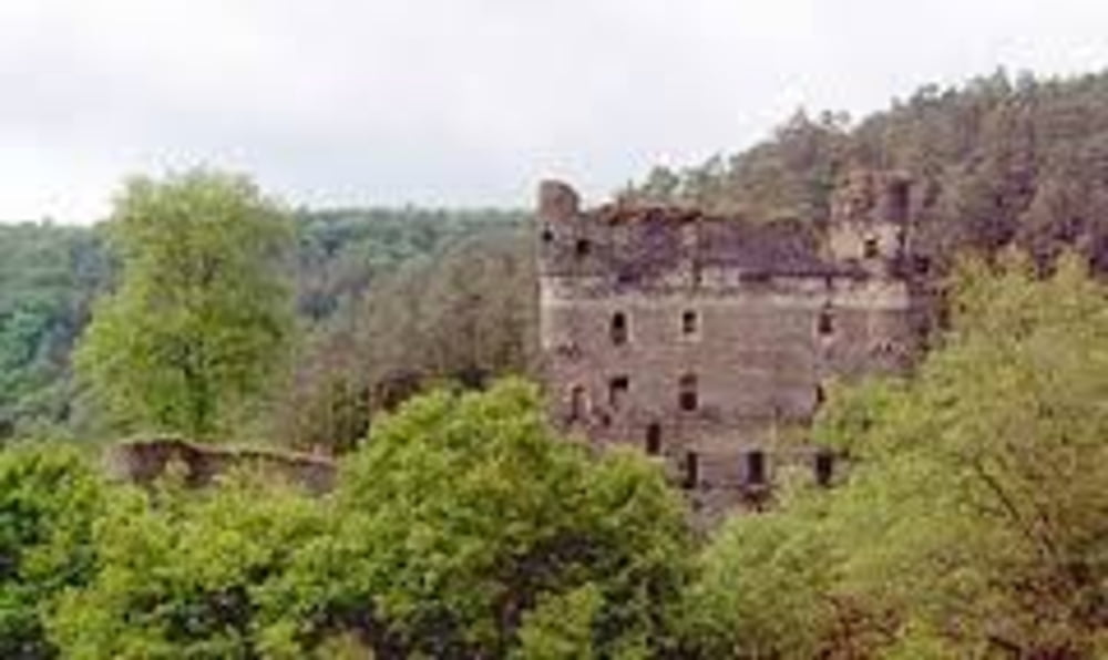
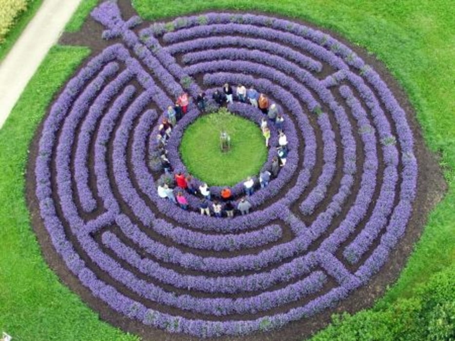
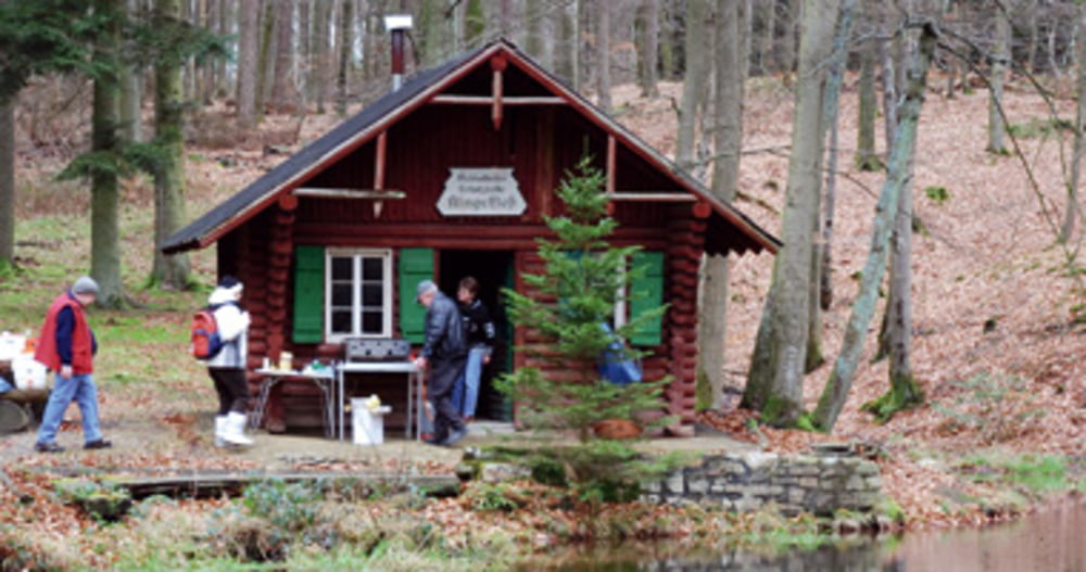
Anspruchsvolle MTB Tour - Kennzeichnung H9 - keine weiße Socken-Tour - stellenweise schlammige Abschnitte, auch bei trockenem Wetter- Bachdurchfahrt ~ alternativ Steg- Besichtigungen: Ruine Balduinseck, Maria Ruh, Lavendellabyrint, Burgruine Kastellaun, Klingelfloß.
Galerija izletov
Zemljevid in višinski profil izleta
Minimum height 254 m
Maximum height 495 m
Komentarji

Idealer Startpunkt ist Kastellaun, Parkplatz Alter Bahnhof - direkt am Radweg.
Einkehrmöglichkeit direkt am Parkplatz.
Poti GPS
Trackpoints-
GPX / Garmin Map Source (gpx) download
-
TCX / Garmin Training Center® (tcx) download
-
CRS / Garmin Training Center® (crs) download
-
Google Earth (kml) download
-
G7ToWin (g7t) download
-
TTQV (trk) download
-
Overlay (ovl) download
-
Fugawi (txt) download
-
Kompass (DAV) Track (tk) download
-
List z izleti (pdf) download
-
Original file of the author (gpx) download
Add to my favorites
Remove from my favorites
Edit tags
Open track
My score
Rate


