Login

Si pozabil/a podatke za prijavo?

Cookies have to be accepted!
Your browser's cookie functionality is disabled. Please enable this functionality.

Not a member yet?

Register now
Login

Available for registred users only

Log in to use this feature.

Si pozabil/a podatke za prijavo?

Cookies have to be accepted!
Your browser's cookie functionality is disabled. Please enable this functionality.

Not a member yet?

Register now
Filter
Kategorije
Advanced filters
  • Dolžina (km)
  • Metri nadmorske višine
Shrani filter Reset filter

TrackRank

QRCode

Technical data

Dolžina56,6 km Metri nadmorske višine348 m Way down346 m Trajanje03:07 h:m Datum03.11.2014
Ocene Author Pokrajina Dejavnik zabave Kondicija Tehnika

Statistika

403 Pogledi 2 Ocene 61 Prenosi 4.00 Povprečje
Rate
  • List z izleti
  • Prihod
  • Prenosi

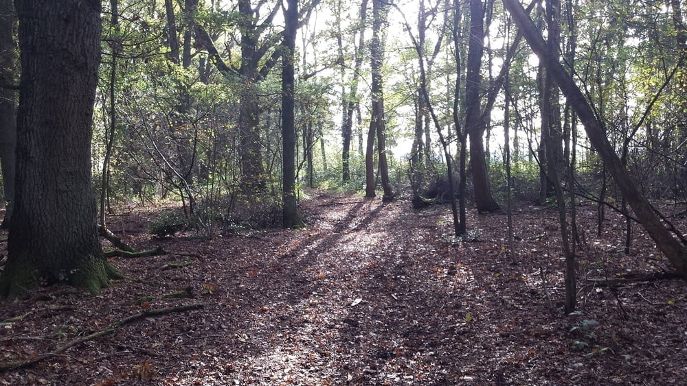
Superschöne Tour am Niederrhein, allerdings ohne technische Herausforderungen.

Von Waldniel durch Ungerath. Im Wald nach Rickelrath und Wegberg. Dann weiter nach Arsbeck, zu den Raki-Weihern in Dalheim-Rödgen. Durch den Nationalpark Meinweg bei Rödgen an merbeck vorbei nach Tetelrath.

An der Schwalm zur Pannenmühle, zur Radermühle und dann nach Brempt. Von dort über Birth, durch den Wald bei Elmpt nach Brüggen und Born zurück Richtung Hariksee, Hagen und dann wieder nach Waldniel.


Galerija izletov

Zemljevid in višinski profil izleta

  • Open Street Map
  • Google
Minimum height 37 m Maximum height 93 m Prikaz podrobnosti

More about the tour author

astone
Member since 2011

Send private message

Komentarji

Gost on 12.04.2015

Dank tolle Tour

Wenn man es es drauf anlegt, kann man schön tempo machen - waldautobahnig und ruhig. heute mit meiner Frau unterwegs - daher auch schön zum cruisen. Werden die Tour wiederholen wenn das Blattwerk voll da ist :). Gruss aus ddorf

Über die A52 Richtung Roermond Abfahrt Waldniel.

Start und Ziel ist an der Kastanienallee.


Poti GPS

Trackpoints
  • GPX / Garmin Map Source (gpx) download
  • TCX / Garmin Training Center® (tcx) download
  • CRS / Garmin Training Center® (crs) download
  • Google Earth (kml) download
  • G7ToWin (g7t) download
  • TTQV (trk) download
  • Overlay (ovl) download
  • Fugawi (txt) download
  • Kompass (DAV) Track (tk) download
  • List z izleti (pdf) download
  • Original file of the author (gpx) download

More about the tour author

astone
Member since 2011

Send private message
Share track
Add to my favorites
Remove from my favorites
Edit tags
My score
Rate
Izlet: Schwalmquellen Rundtour
Vrsta: Gorsko kolo
Dolžina: 56,6 km
Evaluated on:
Trajanje:
Day(s)
Hour(s)
Minute(s)
Ocena: Pokrajina Dejavnik zabave Kondicija Tehnika