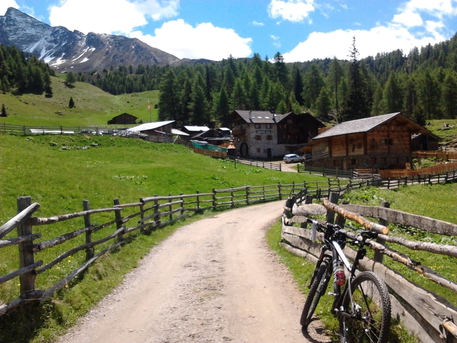
Schön hoch über Almstrassen, so mag ich das. Bei der Abfahrt wird es etwas steiler und ruppiger deshalb im Uhrzeigersinn fahren. Ich glaub das mit dem steil und ruppig war eine andere Tour, man sollte halt nicht 2 Jahre warten bis man seine Touren einstellt daher auch etwas dürftige beschreibungen.
Galerija izletov
Zemljevid in višinski profil izleta
Minimum height 462 m
Maximum height 2014 m
Komentarji

Poti GPS
Trackpoints-
GPX / Garmin Map Source (gpx) download
-
TCX / Garmin Training Center® (tcx) download
-
CRS / Garmin Training Center® (crs) download
-
Google Earth (kml) download
-
G7ToWin (g7t) download
-
TTQV (trk) download
-
Overlay (ovl) download
-
Fugawi (txt) download
-
Kompass (DAV) Track (tk) download
-
List z izleti (pdf) download
-
Original file of the author (gpx) download
Add to my favorites
Remove from my favorites
Edit tags
Open track
My score
Rate


