Login

Si pozabil/a podatke za prijavo?

Cookies have to be accepted!
Your browser's cookie functionality is disabled. Please enable this functionality.

Not a member yet?

Register now
Login

Available for registred users only

Log in to use this feature.

Si pozabil/a podatke za prijavo?

Cookies have to be accepted!
Your browser's cookie functionality is disabled. Please enable this functionality.

Not a member yet?

Register now
Filter
Kategorije
Advanced filters
  • Dolžina (km)
  • Metri nadmorske višine
Shrani filter Reset filter

TrackRank

QRCode

Technical data

Dolžina30,8 km Metri nadmorske višine967 m Way down965 m Trajanje02:45 h:m Datum16.03.2008
Ocene Author Pokrajina Dejavnik zabave Kondicija Tehnika

Statistika

1540 Pogledi 6 Ocene 312 Prenosi 4.17 Povprečje
Rate
  • List z izleti
  • Prihod
  • Prenosi
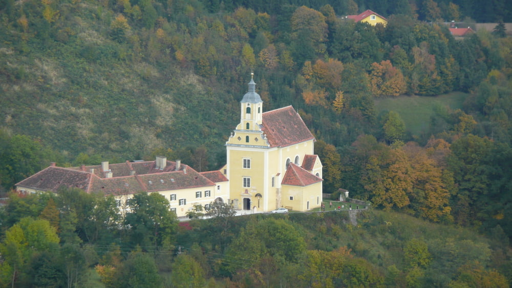
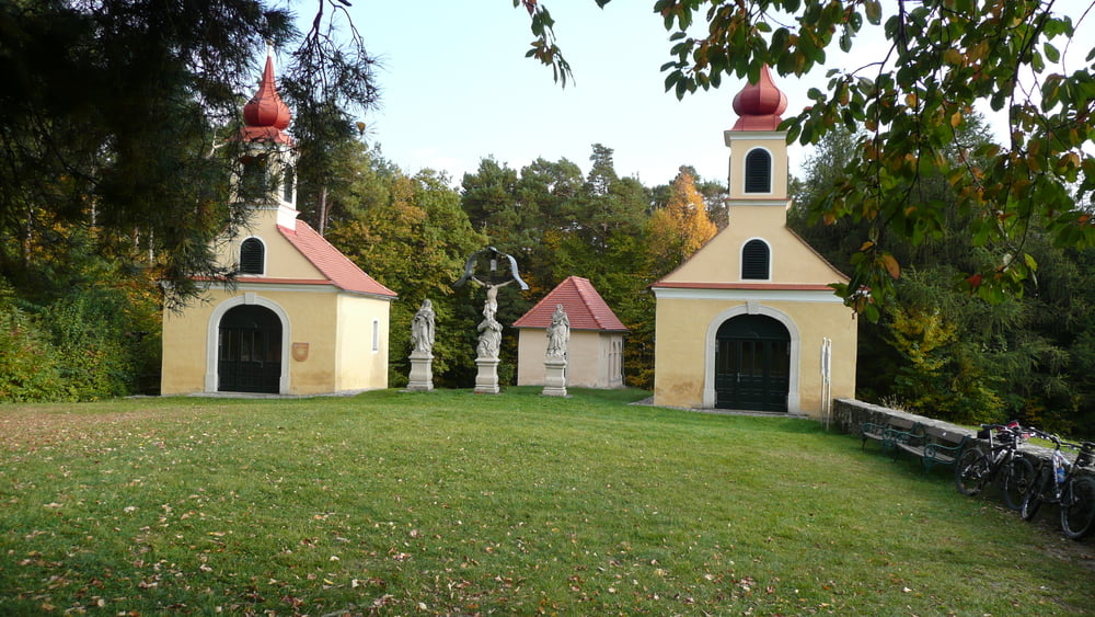
Abwechslungsreiche Rundtour an der Südseite des Kulms.

100% Befahrbar
42% Asphalt

Further information at

http://www.kulm-keltendorf.at/

Galerija izletov

Zemljevid in višinski profil izleta

  • Open Street Map
  • Google
Minimum height 328 m Maximum height 918 m Prikaz podrobnosti

More about the tour author

ingobingo
Member since 2008

Send private message

Komentarji

marioana on 28.03.2009

Tourrichtung!

die Richtung ist bei der Tour entscheidend! Ich habe sie heute so gestartet, dass ich zuerst die Geierwand (Blick auf Herberstein und Stubenbergsee) und dann den Kulm befahren habe.
Ich würde genau die andere Richtung empfehlen, denn ich bin Uphill am unbefestigten Grund gefahren und musst teilweise schieben, weil es so steil war (Kulm) und Downhill war größtenteils am Asphalt!
Also genau in die andere Richtung macht die Tour sicher noch mehr spass!!
harnoncourt on 03.05.2009

Danke!

Bin die Tour am 2. Mai 2009 zum Teil gefahren. War ein grosser Genuss. Vielen Dank an Ingobingo!
Von Graz komment auf der A2 bis zur Abfahrt Gleisdorf-West.Weiter auf der B54 bis 2,2Km nach dem Kreisverkehr in Grosspesendorf (Shelltankstelle).Start ist beim Rastplatz K.U.L.M. bei der Stiege.

Poti GPS

Trackpoints
  • GPX / Garmin Map Source (gpx) download
  • TCX / Garmin Training Center® (tcx) download
  • CRS / Garmin Training Center® (crs) download
  • Google Earth (kml) download
  • G7ToWin (g7t) download
  • TTQV (trk) download
  • Overlay (ovl) download
  • Fugawi (txt) download
  • Kompass (DAV) Track (tk) download
  • List z izleti (pdf) download
  • Original file of the author (gpx) download

More about the tour author

ingobingo
Member since 2008

Send private message
Share track
Add to my favorites
Remove from my favorites
Edit tags
My score
Rate
Izlet: Kulm-Südrunde
Vrsta: Gorsko kolo
Dolžina: 30,8 km
Evaluated on:
Trajanje:
Day(s)
Hour(s)
Minute(s)
Ocena: Pokrajina Dejavnik zabave Kondicija Tehnika