Login

Si pozabil/a podatke za prijavo?

Cookies have to be accepted!
Your browser's cookie functionality is disabled. Please enable this functionality.

Not a member yet?

Register now
Login

Available for registred users only

Log in to use this feature.

Si pozabil/a podatke za prijavo?

Cookies have to be accepted!
Your browser's cookie functionality is disabled. Please enable this functionality.

Not a member yet?

Register now
Filter
Kategorije
Advanced filters
  • Dolžina (km)
  • Metri nadmorske višine
Shrani filter Reset filter

TrackRank

QRCode

Technical data

Dolžina58,4 km Metri nadmorske višine474 m Way down477 m Trajanje02:30 h:m Datum07.03.2015
Ocene Author Pokrajina Dejavnik zabave Kondicija Tehnika

Statistika

114 Pogledi Ocene 6 Prenosi Povprečje
Rate
  • List z izleti
  • Prihod
  • Prenosi
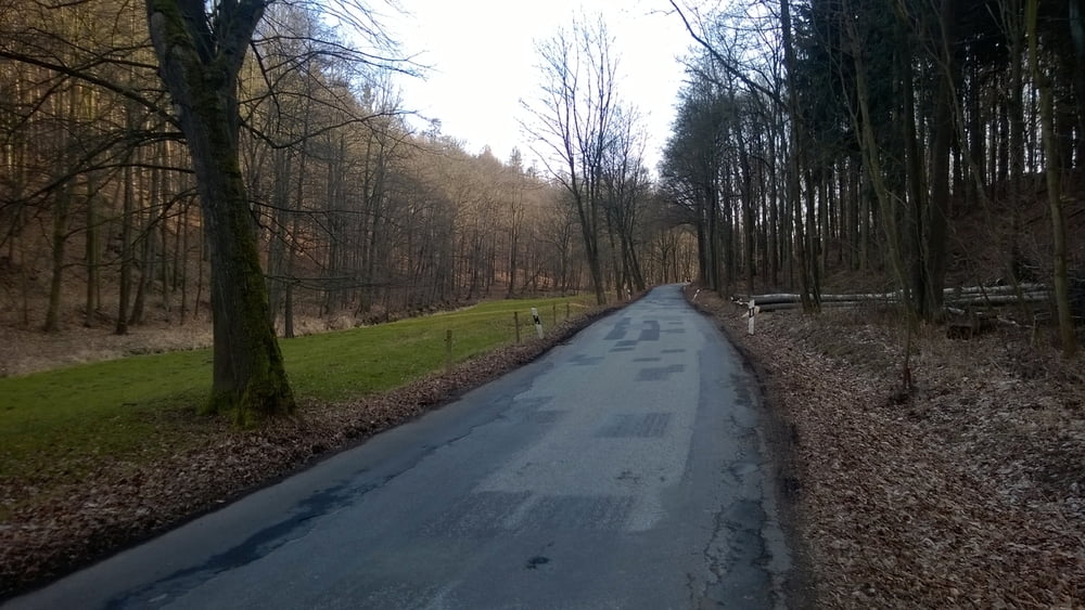
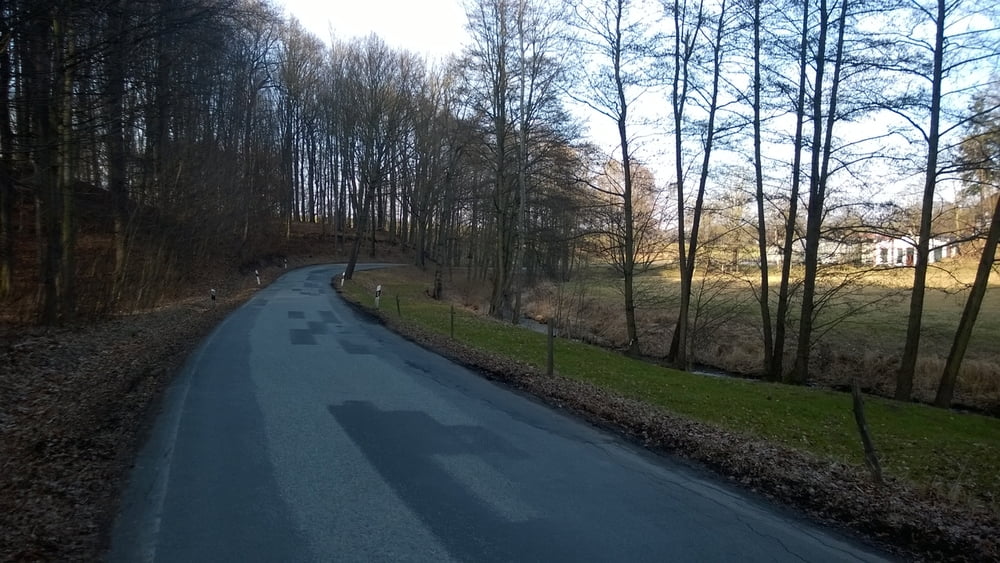
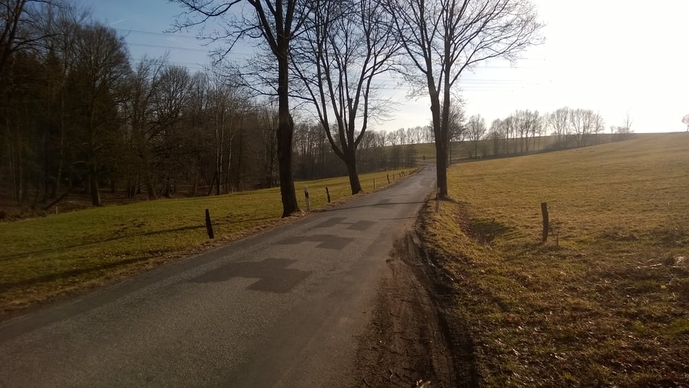
Die Tour führt über wenig befahrene Land- oder Ortsstraßen. Am Startpunkt befindet sich ein Rastplatz mit Parkmöglichkeit.


Galerija izletov

Zemljevid in višinski profil izleta

  • Open Street Map
  • Google
Minimum height 215 m Maximum height 364 m Prikaz podrobnosti

More about the tour author

braschi1
Member since 2009

Send private message

Komentarji

Poti GPS

Trackpoints
  • GPX / Garmin Map Source (gpx) download
  • TCX / Garmin Training Center® (tcx) download
  • CRS / Garmin Training Center® (crs) download
  • Google Earth (kml) download
  • G7ToWin (g7t) download
  • TTQV (trk) download
  • Overlay (ovl) download
  • Fugawi (txt) download
  • Kompass (DAV) Track (tk) download
  • List z izleti (pdf) download
  • Original file of the author (gpx) download

More about the tour author

braschi1
Member since 2009

Send private message
Share track
Add to my favorites
Remove from my favorites
Edit tags
My score
Rate
Izlet: Von Hörnitz auf den Eigen
Vrsta: Dirkalno kolo
Dolžina: 58,4 km
Evaluated on:
Trajanje:
Day(s)
Hour(s)
Minute(s)
Ocena: Pokrajina Dejavnik zabave Kondicija Tehnika