Login

Si pozabil/a podatke za prijavo?

Cookies have to be accepted!
Your browser's cookie functionality is disabled. Please enable this functionality.

Not a member yet?

Register now
Login

Available for registred users only

Log in to use this feature.

Si pozabil/a podatke za prijavo?

Cookies have to be accepted!
Your browser's cookie functionality is disabled. Please enable this functionality.

Not a member yet?

Register now
Filter
Kategorije
Advanced filters
  • Dolžina (km)
  • Metri nadmorske višine
Shrani filter Reset filter

TrackRank

QRCode

Technical data

Dolžina12,9 km Metri nadmorske višine745 m Way down753 m Trajanje05:00 h:m Datum09.03.2015
Ocene Author Pokrajina Dejavnik zabave Kondicija Tehnika

Statistika

333 Pogledi Ocene 9 Prenosi Povprečje
Rate
  • List z izleti
  • Prihod
  • Prenosi

Roundtour near Liptovske Revuce


Zemljevid in višinski profil izleta

  • Open Street Map
  • Google
Minimum height 687 m Maximum height 1439 m Prikaz podrobnosti

More about the tour author

joe007
Member since 2009

Send private message

Komentarji

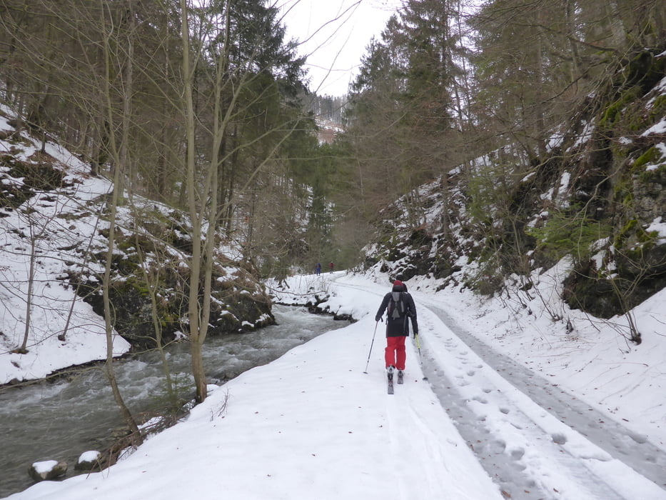
We started few hunderds meters from the village. Followed the mounten road for about 2kms, then turned north and started the ascend. Ascend through the forest heading to N/NW.

At 1250m forest ends, heading NE to the crest. Crest was very windy.

Descend starts SE, then S.

We took a turn to E , NE at 950m, ending up in a small valley with a mounten road.

Back to the start via the mountain road, and then the main road.


Poti GPS

Trackpoints
  • GPX / Garmin Map Source (gpx) download
  • TCX / Garmin Training Center® (tcx) download
  • CRS / Garmin Training Center® (crs) download
  • Google Earth (kml) download
  • G7ToWin (g7t) download
  • TTQV (trk) download
  • Overlay (ovl) download
  • Fugawi (txt) download
  • Kompass (DAV) Track (tk) download
  • List z izleti (pdf) download
  • Original file of the author (gpx) download

More about the tour author

joe007
Member since 2009

Send private message
Share track
Add to my favorites
Remove from my favorites
Edit tags
My score
Rate
Izlet: Donovaly - Ploska
Vrsta: Smuči
Dolžina: 12,9 km
Evaluated on:
Trajanje:
Day(s)
Hour(s)
Minute(s)
Ocena: Pokrajina Dejavnik zabave Kondicija Tehnika