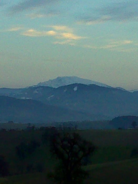
Eine nette kleine Tour für nach Feierabend im zeitigen Frühjahr. Die Tour verläuft auf einen Teil der markierten Mostlandrunde mit hohen Asphaltanteil und einigen Wald und Wiesenwegen. Bei Km 5,8 hat man bei klaren Wetter einen tollen Ötscherblick.
Galerija izletov
Zemljevid in višinski profil izleta
Minimum height 270 m
Maximum height 401 m
Komentarji

Poti GPS
Trackpoints-
GPX / Garmin Map Source (gpx) download
-
TCX / Garmin Training Center® (tcx) download
-
CRS / Garmin Training Center® (crs) download
-
Google Earth (kml) download
-
G7ToWin (g7t) download
-
TTQV (trk) download
-
Overlay (ovl) download
-
Fugawi (txt) download
-
Kompass (DAV) Track (tk) download
-
List z izleti (pdf) download
-
Original file of the author (gpx) download
Add to my favorites
Remove from my favorites
Edit tags
Open track
My score
Rate


