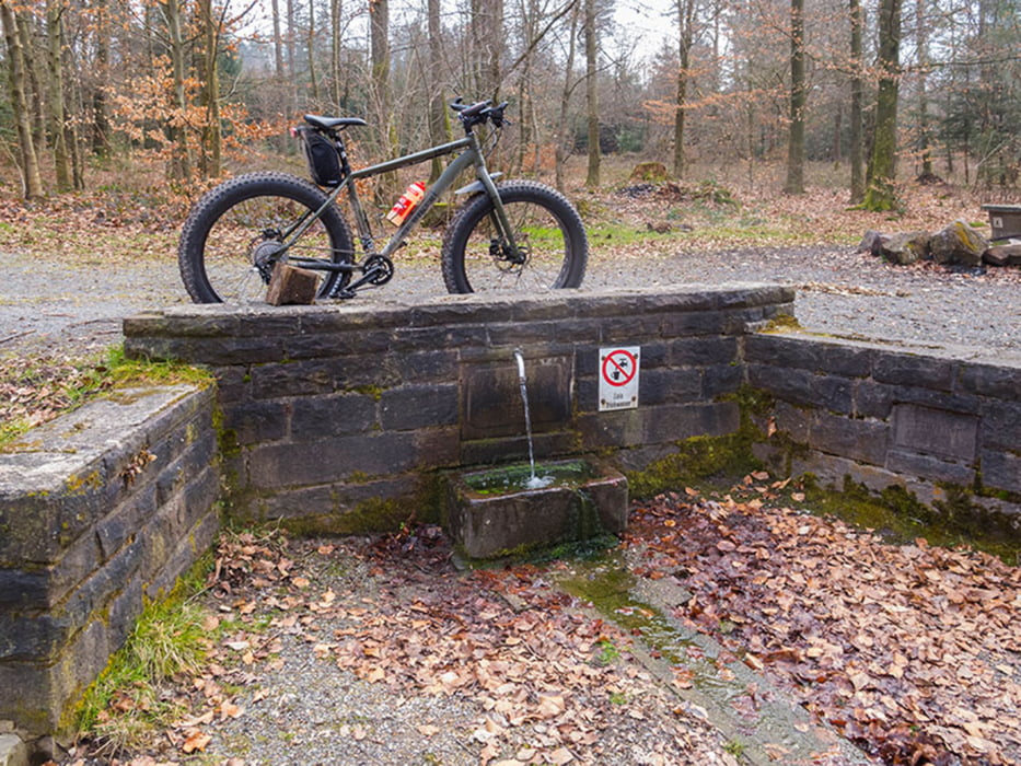
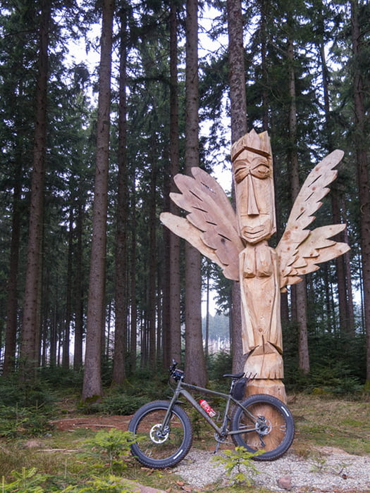
Meist auf Waldwegen unterwegs, Rückweg auf asphaltiertem Albtalradweg.
Strecke: Busenbach - Reichenbach - Etzenrot - Spielberg - Jakobsbrunnen - Ittersbach - Conweiler - Dennach - Dreimarkstein - Volzemer Stein - Dobel - Herrlingsweg - Gaißtal - Bad Herrenalb (Cafè) - Albtalradweg - Reichenbach - Busenbach.
Further information at
http://www.velotouren.net/radtouren/touren/touren2015/rund-um-karlsruhe/ruka1507/Galerija izletov
Zemljevid in višinski profil izleta
Minimum height 194 m
Maximum height 722 m
Komentarji
Poti GPS
Trackpoints-
GPX / Garmin Map Source (gpx) download
-
TCX / Garmin Training Center® (tcx) download
-
CRS / Garmin Training Center® (crs) download
-
Google Earth (kml) download
-
G7ToWin (g7t) download
-
TTQV (trk) download
-
Overlay (ovl) download
-
Fugawi (txt) download
-
Kompass (DAV) Track (tk) download
-
List z izleti (pdf) download
-
Original file of the author (gpx) download
Add to my favorites
Remove from my favorites
Edit tags
Open track
My score
Rate


Rückfahrt Herrenalb - Neurod
Nur so, als Tipp ;-)
Cheers !
da hast du recht, aber ich hatte es eilig und da ist der asphaltierte Weg schneller.
Nächstes Mal wieder offroad ;-)
Ciao, Carlo