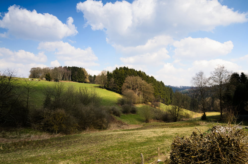
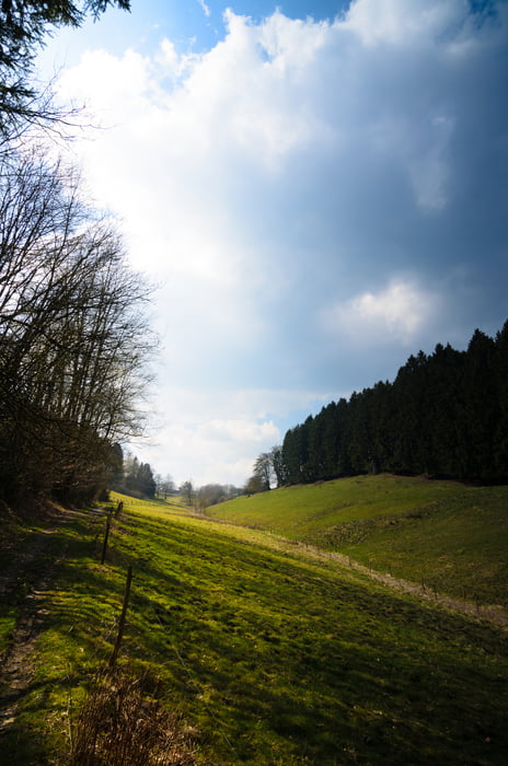
Kleine Fototour an der Hasper Talsperre. Selbst Ostersonntag bei Sonne kaum etwas los. Wer gerne eine kleine Tour ohne Menschen mag, ist hier bestens aufgehoben.
Galerija izletov
Zemljevid in višinski profil izleta
Minimum height 279 m
Maximum height 376 m
Komentarji

Poti GPS
Trackpoints-
GPX / Garmin Map Source (gpx) download
-
TCX / Garmin Training Center® (tcx) download
-
CRS / Garmin Training Center® (crs) download
-
Google Earth (kml) download
-
G7ToWin (g7t) download
-
TTQV (trk) download
-
Overlay (ovl) download
-
Fugawi (txt) download
-
Kompass (DAV) Track (tk) download
-
List z izleti (pdf) download
-
Original file of the author (gpx) download
Add to my favorites
Remove from my favorites
Edit tags
Open track
My score
Rate


