Login

Si pozabil/a podatke za prijavo?

Cookies have to be accepted!
Your browser's cookie functionality is disabled. Please enable this functionality.

Not a member yet?

Register now
Login

Available for registred users only

Log in to use this feature.

Si pozabil/a podatke za prijavo?

Cookies have to be accepted!
Your browser's cookie functionality is disabled. Please enable this functionality.

Not a member yet?

Register now
Filter
Kategorije
Advanced filters
  • Dolžina (km)
  • Metri nadmorske višine
Shrani filter Reset filter

TrackRank

QRCode

Technical data

Dolžina38,7 km Metri nadmorske višine701 m Way down705 m Trajanje02:30 h:m Datum25.05.2015
Ocene Author Pokrajina Dejavnik zabave Kondicija Tehnika

Statistika

297 Pogledi Ocene 27 Prenosi Povprečje
Rate
  • List z izleti
  • Prihod
  • Prenosi

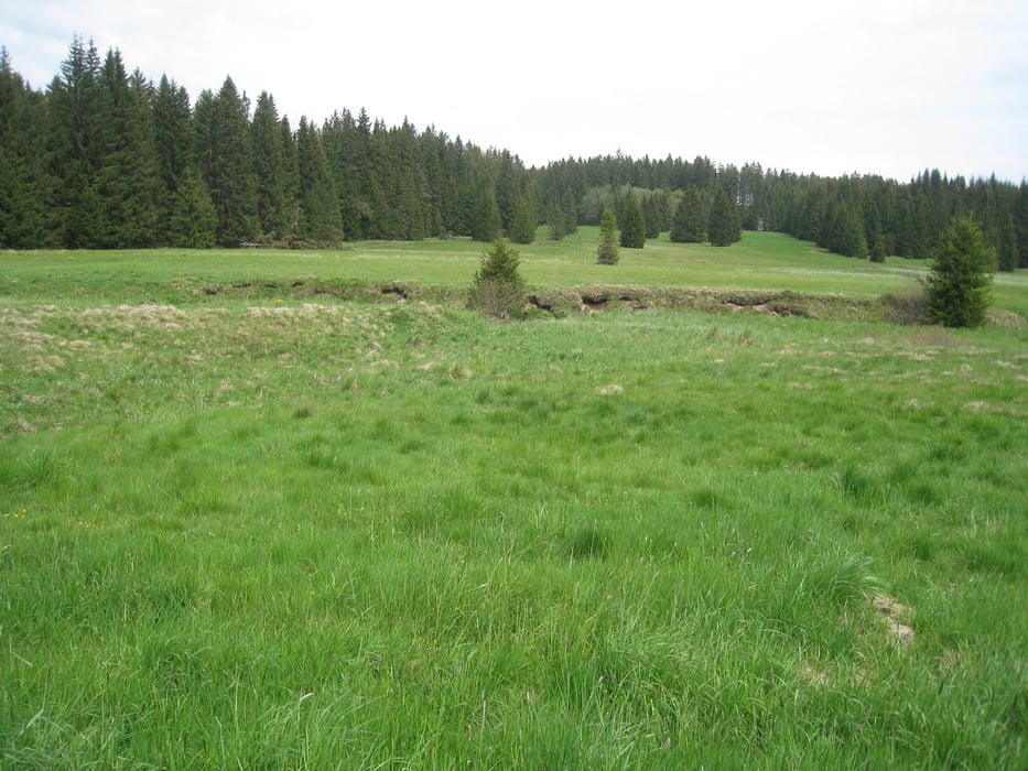
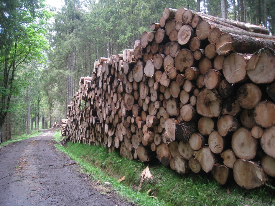
Diese Tour könnte auch in der Rubrik Trekkingbike geführt werden. Bis zum Wendepunkt im Norden fast ausschließlich auf (schlechtem) Asphalt, dann überwiegend auf guten Schotterforststraßen. Landschaftlich sehr urig, aufgrund des sanften Verlaufes der Steigungen auch für eher untrainierte BikerInnen geeignet.

Hochsommertauglich, weil viel im Wald. Wegen der Wegbeschaffenheit auch nach Regenzeit fahrbar.


Galerija izletov

Zemljevid in višinski profil izleta

  • Open Street Map
  • Google
Minimum height 718 m Maximum height 1010 m Prikaz podrobnosti

More about the tour author

rjkas
Member since 2003

Send private message

Komentarji

Poti GPS

Trackpoints
  • GPX / Garmin Map Source (gpx) download
  • TCX / Garmin Training Center® (tcx) download
  • CRS / Garmin Training Center® (crs) download
  • Google Earth (kml) download
  • G7ToWin (g7t) download
  • TTQV (trk) download
  • Overlay (ovl) download
  • Fugawi (txt) download
  • Kompass (DAV) Track (tk) download
  • List z izleti (pdf) download
  • Original file of the author (tcx) download

More about the tour author

rjkas
Member since 2003

Send private message
Share track
Add to my favorites
Remove from my favorites
Edit tags
My score
Rate
Izlet: Karlstift - Leopoldov
Vrsta: Gorsko kolo
Dolžina: 38,7 km
Evaluated on:
Trajanje:
Day(s)
Hour(s)
Minute(s)
Ocena: Pokrajina Dejavnik zabave Kondicija Tehnika