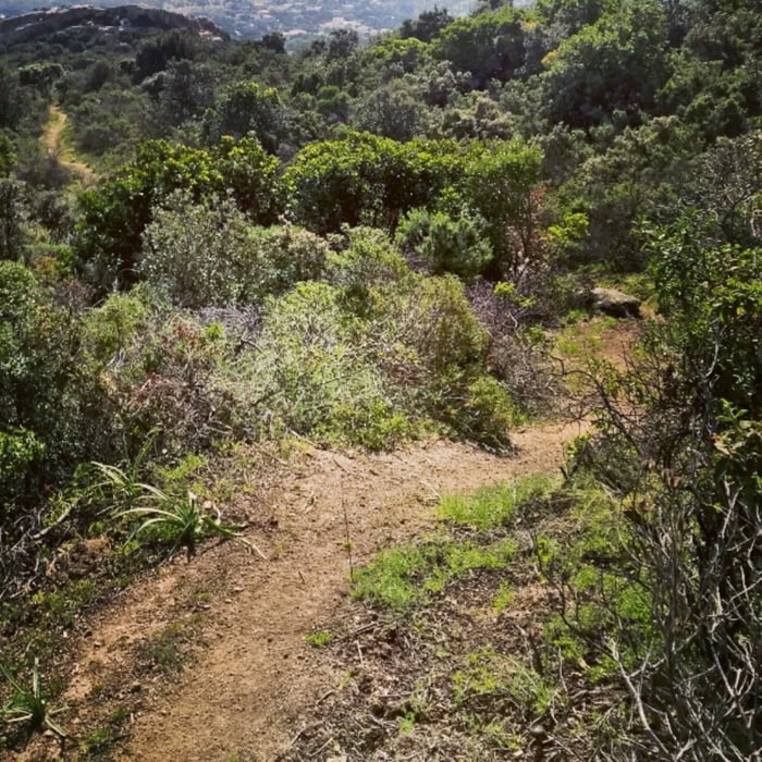
Die Tour ist Teil des Corsica XTRI MTB Rennens.
Bergauf gehts auf einer ausgewaschenen Sandpiste recht steil mit kurzen Schiebepassagen.
Die letzten Höhenmeter dann auf Singletrail, bergauf, bergab, sehr spassig.
Die eigentliche Abfahrt dann auf 100% Singletrail, meist sehr flowig und schnell, S1 bis S2 (S3 wenn dann nur einzelnen Stellen).
Further information at
http://www.corsicaxtri.fr/Galerija izletov
Zemljevid in višinski profil izleta
Minimum height 5 m
Maximum height 286 m
Komentarji

Ortsanfang von Calvi.
Poti GPS
Trackpoints-
GPX / Garmin Map Source (gpx) download
-
TCX / Garmin Training Center® (tcx) download
-
CRS / Garmin Training Center® (crs) download
-
Google Earth (kml) download
-
G7ToWin (g7t) download
-
TTQV (trk) download
-
Overlay (ovl) download
-
Fugawi (txt) download
-
Kompass (DAV) Track (tk) download
-
List z izleti (pdf) download
-
Original file of the author (gpx) download
Add to my favorites
Remove from my favorites
Edit tags
Open track
My score
Rate


