


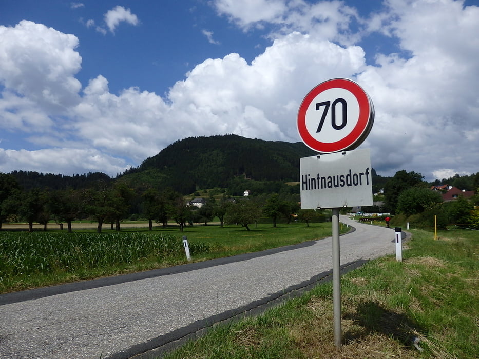
Rundtour ab Klagenfurt/Rotkreuzzentrum - Wrießnitz - Stegendorf - St. Peter am Bichl - Liebenfels - Glantschach - Pulst - Rosenbichl - Beissendorf - (bei Einmündung in die L93A falsch gefahren nach Sankt Veit, besser über Punkt1, Punkt2), L93 Hintnausdorf) - vorbei am Parkplatz an der Abzweigung zum Lorenziberg (Zielpunkt Vierbergelauf) - Nussberg (Abkürzung durch den Bauernhof, angezeigt wird allerdings vorher eine nicht vorhandene Sackgasse) - Höffern, vorbei am Schloß Frauenstein - Obermühlbach - Hammergraben - Sankt Veit - Friesacherweg R7 an der Glan - Klagenfurt
Galerija izletov


Zemljevid in višinski profil izleta
Minimum height 450 m
Maximum height 782 m
More about the tour author
|
|
walderich |
Komentarji

Abfahrt und Ziel Rotkreuzzentrum Grete.Bittnerstrasse
Poti GPS
Trackpoints-
GPX / Garmin Map Source (gpx) download
-
TCX / Garmin Training Center® (tcx) download
-
CRS / Garmin Training Center® (crs) download
-
Google Earth (kml) download
-
G7ToWin (g7t) download
-
TTQV (trk) download
-
Overlay (ovl) download
-
Fugawi (txt) download
-
Kompass (DAV) Track (tk) download
-
List z izleti (pdf) download
-
Original file of the author (gpx) download
More about the tour author
|
|
walderich |
Add to my favorites
Remove from my favorites
Edit tags
Open track
My score
Rate