


Hier geht es mal kurz um Pfalzgrafenweiler.
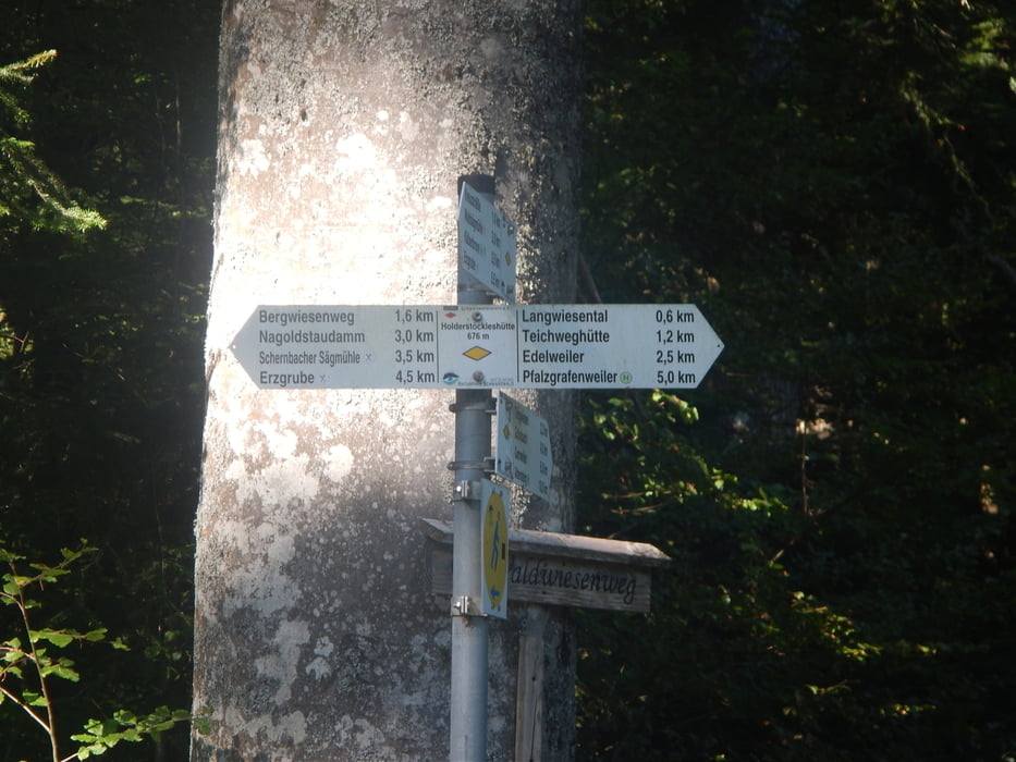
In der Regel werden Forstwege genommen. Es geht in Richtung Zinsbachtal und anschließend bis nach Kälberbronn. Dann geht es wieder zurück nach Pfalzgrafenweiler. Es geht durch das Industriegebiet. Noch ein Abstecher in das Tal des Waldach. Nur so ab und zu geht es über Singletrails abwärts.
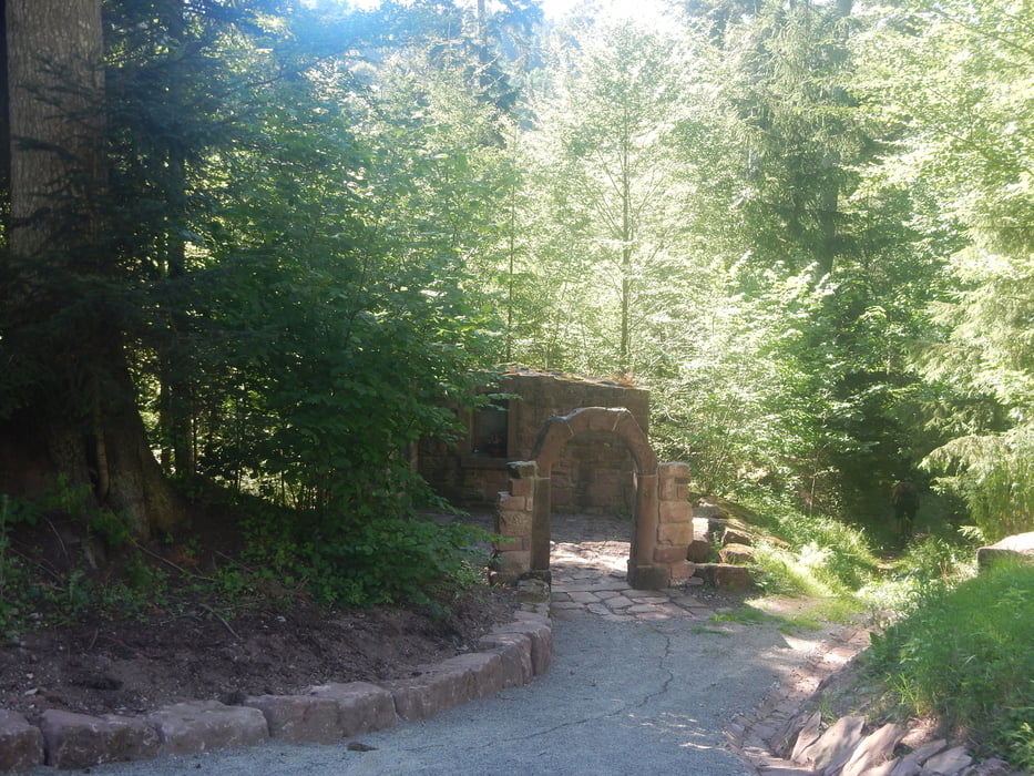
Interessant ist auch die Wallfahrts-Kapelle "Unser liebe Froun Zinßbach":
Hier stand auf herzoglich württem-bergischen Gebiet bis ins 16. Jahrhundert die Wallfahrts-Kapell "Unser liebe Frown Zinsbach" mit Pfründhaus, Herberge und Mühle am Zinsbach. ... Zum Bau der neuen Zinsbachmühle ab 1555 verwende
www.pfalzgrafenweiler.de/index.php
Further information at
http://www.schwarzwaldverein-pfalzgrafenweiler.de/html/das_zinsbachtal.htmlGalerija izletov


Zemljevid in višinski profil izleta
Minimum height 499 m
Maximum height 705 m
More about the tour author
|
|
MatthiasBy |
Komentarji

Poti GPS
Trackpoints-
GPX / Garmin Map Source (gpx) download
-
TCX / Garmin Training Center® (tcx) download
-
CRS / Garmin Training Center® (crs) download
-
Google Earth (kml) download
-
G7ToWin (g7t) download
-
TTQV (trk) download
-
Overlay (ovl) download
-
Fugawi (txt) download
-
Kompass (DAV) Track (tk) download
-
List z izleti (pdf) download
-
Original file of the author (gpx) download
More about the tour author
|
|
MatthiasBy |
Add to my favorites
Remove from my favorites
Edit tags
Open track
My score
Rate