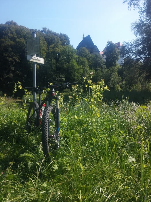
Traumtour mit Start in Behringersmühle (Gößweinstein). Die Strecke führt durch verschiedene Täler und Sehenswürdigkeiten der Fränkischen Schweiz. Für genügend Einkehrschwünge ist bestens gesorgt, ein Teil verläuft über den Brauereiweg. Das Aufseßtal mit seinen schönen Trails bietet einen würdigen Abschluss.
Zemljevid in višinski profil izleta
Minimum height 280 m
Maximum height 496 m
Komentarji

Parkplatz am Tennisplatz Richtung Unterailsfeld. Gleich nach der Brücke rechts
Poti GPS
Trackpoints-
GPX / Garmin Map Source (gpx) download
-
TCX / Garmin Training Center® (tcx) download
-
CRS / Garmin Training Center® (crs) download
-
Google Earth (kml) download
-
G7ToWin (g7t) download
-
TTQV (trk) download
-
Overlay (ovl) download
-
Fugawi (txt) download
-
Kompass (DAV) Track (tk) download
-
List z izleti (pdf) download
-
Original file of the author (tcx) download
Add to my favorites
Remove from my favorites
Edit tags
Open track
My score
Rate


