Login

Si pozabil/a podatke za prijavo?

Cookies have to be accepted!
Your browser's cookie functionality is disabled. Please enable this functionality.

Not a member yet?

Register now
Login

Available for registred users only

Log in to use this feature.

Si pozabil/a podatke za prijavo?

Cookies have to be accepted!
Your browser's cookie functionality is disabled. Please enable this functionality.

Not a member yet?

Register now
Filter
Kategorije
Advanced filters
  • Dolžina (km)
  • Metri nadmorske višine
Shrani filter Reset filter

TrackRank

QRCode

Technical data

Dolžina24,5 km Metri nadmorske višine306 m Way down440 m Trajanje1 day 0 h Datum31.08.2015
Ocene Author Pokrajina Dejavnik zabave Kondicija Tehnika

Statistika

249 Pogledi Ocene 11 Prenosi Povprečje
Rate
  • List z izleti
  • Prihod
  • Prenosi
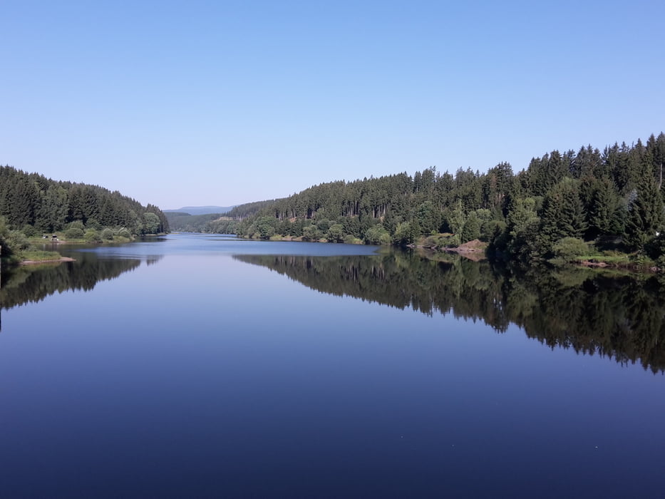
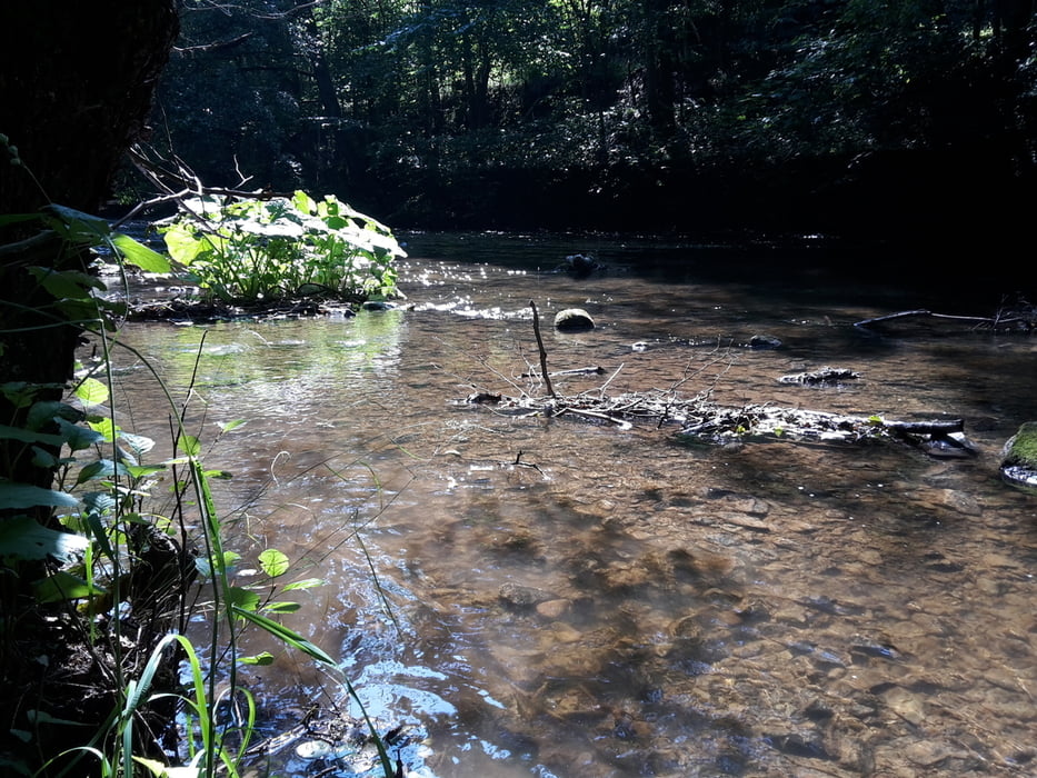
Vierte Etappe auf den Hexenstieg von nach Königshütte nach Altenbrak.
Die Strecke ist leicht bis mittel, fordert aber doch schon ein wenig Kondition.

Galerija izletov

Zemljevid in višinski profil izleta

  • Open Street Map
  • Google
Minimum height 292 m Maximum height 506 m Prikaz podrobnosti

More about the tour author

Nahtbarbe
Member since 2013

Send private message

Komentarji

Poti GPS

Trackpoints
  • GPX / Garmin Map Source (gpx) download
  • TCX / Garmin Training Center® (tcx) download
  • CRS / Garmin Training Center® (crs) download
  • Google Earth (kml) download
  • G7ToWin (g7t) download
  • TTQV (trk) download
  • Overlay (ovl) download
  • Fugawi (txt) download
  • Kompass (DAV) Track (tk) download
  • List z izleti (pdf) download
  • Original file of the author (gpx) download

More about the tour author

Nahtbarbe
Member since 2013

Send private message
Share track
Add to my favorites
Remove from my favorites
Edit tags
My score
Rate
Izlet: Hexenstieg in fünf Etappen hier vierte die Etappe
Vrsta: Pešačenje
Dolžina: 24,5 km
Evaluated on:
Trajanje:
Day(s)
Hour(s)
Minute(s)
Ocena: Pokrajina Dejavnik zabave Kondicija Tehnika