Login

Si pozabil/a podatke za prijavo?

Cookies have to be accepted!
Your browser's cookie functionality is disabled. Please enable this functionality.

Not a member yet?

Register now
Login

Available for registred users only

Log in to use this feature.

Si pozabil/a podatke za prijavo?

Cookies have to be accepted!
Your browser's cookie functionality is disabled. Please enable this functionality.

Not a member yet?

Register now
Filter
Kategorije
Advanced filters
  • Dolžina (km)
  • Metri nadmorske višine
Shrani filter Reset filter

TrackRank

QRCode

Technical data

Dolžina80,0 km Metri nadmorske višine2057 m Way down1959 m Trajanje00:00 h:m Datum07.09.2015
Ocene Author User Pokrajina Dejavnik zabave Kondicija Tehnika

Statistika

364 Pogledi Ocene 30 Prenosi Povprečje
Rate
  • List z izleti
  • Prihod
  • Prenosi

Gestartet sind wir am Bahnhof von Geising.

Von hier aus startet der sehr gut ausgeschliderte Kammweg (blau-weiß-blau) in Richtung Vogtland.

Eine größere Pause haben wir auf dem Schwartenstein, zwischen Neuhausen und Seiffen eingelegt. Dies war c.a. die Hälfte der Tour.

Danach ging es weiter nach Kühnhaide, wo sich unser geplantes Ziel befand.

Übernachtet haben wir dann in der Pension der Familie Hunger. www.schwarzwassertal.kuehnhaide.de/
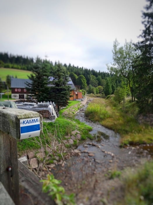
Galerija izletov

Zemljevid in višinski profil izleta

  • Open Street Map
  • Google
Minimum height 348 m Maximum height 948 m Prikaz podrobnosti

More about the tour author

Chemnitz-Mitte
Member since 2015

Send private message

Komentarji

Poti GPS

Trackpoints
  • GPX / Garmin Map Source (gpx) download
  • TCX / Garmin Training Center® (tcx) download
  • CRS / Garmin Training Center® (crs) download
  • Google Earth (kml) download
  • G7ToWin (g7t) download
  • TTQV (trk) download
  • Overlay (ovl) download
  • Fugawi (txt) download
  • Kompass (DAV) Track (tk) download
  • List z izleti (pdf) download
  • Original file of the author (gpx) download

More about the tour author

Chemnitz-Mitte
Member since 2015

Send private message
Share track
Add to my favorites
Remove from my favorites
Edit tags
My score
Rate
Izlet: Erzgebirgskammweg Geising - Kühnhaide
Vrsta: Gorsko kolo
Dolžina: 80,0 km
Evaluated on:
Trajanje:
Day(s)
Hour(s)
Minute(s)
Ocena: Pokrajina Dejavnik zabave Kondicija Tehnika