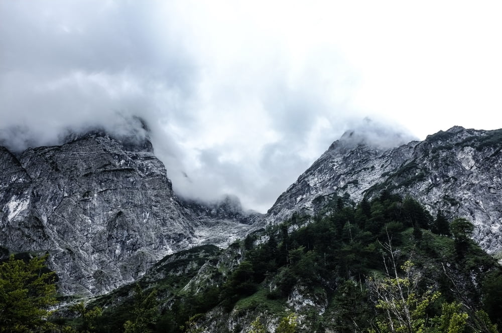
Austrian Alps. Path 213 up the mountain and around to zur Pühringerhütte and down path 214.
Galerija izletov
Zemljevid in višinski profil izleta
Minimum height 588 m
Maximum height 1832 m
Komentarji

Begin at end of Seehaus parking lot and follow trail indicators until the path diverges to trails 213 and 214. Take 213 up and around to zur Pühringerhütte and take 214 down to finish the same path you started on.
Poti GPS
Trackpoints-
GPX / Garmin Map Source (gpx) download
-
TCX / Garmin Training Center® (tcx) download
-
CRS / Garmin Training Center® (crs) download
-
Google Earth (kml) download
-
G7ToWin (g7t) download
-
TTQV (trk) download
-
Overlay (ovl) download
-
Fugawi (txt) download
-
Kompass (DAV) Track (tk) download
-
List z izleti (pdf) download
-
Original file of the author (gpx) download
Add to my favorites
Remove from my favorites
Edit tags
Open track
My score
Rate


