Login

Si pozabil/a podatke za prijavo?

Cookies have to be accepted!
Your browser's cookie functionality is disabled. Please enable this functionality.

Not a member yet?

Register now
Login

Available for registred users only

Log in to use this feature.

Si pozabil/a podatke za prijavo?

Cookies have to be accepted!
Your browser's cookie functionality is disabled. Please enable this functionality.

Not a member yet?

Register now
Filter
Kategorije
Advanced filters
  • Dolžina (km)
  • Metri nadmorske višine
Shrani filter Reset filter

TrackRank

QRCode

Technical data

Dolžina17,2 km Metri nadmorske višine683 m Way down650 m Trajanje02:30 h:m Datum18.09.2015
Ocene Author User Pokrajina Dejavnik zabave Kondicija Tehnika

Statistika

1406 Pogledi 1 Ocena 235 Prenosi 4.00 Povprečje
Rate
  • List z izleti
  • Prihod
  • Prenosi

Höhendifferenz: 670hm
Länge: 16km
Schwierigkeit: S1-2
Dauer: ca. 2,5h
Einkehrmöglichkeit: Rottach Egern, Kreuth

Hier gehts zum Touren Video:
https://www.youtube.com/watch?v=qwdGD_HqSjA

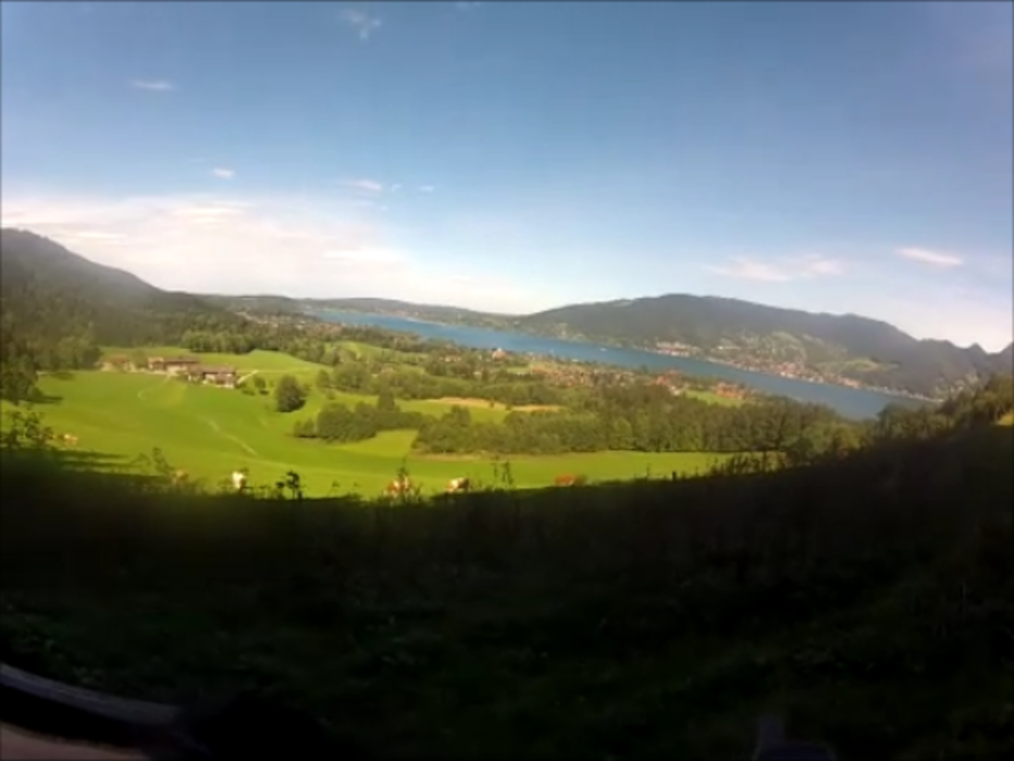
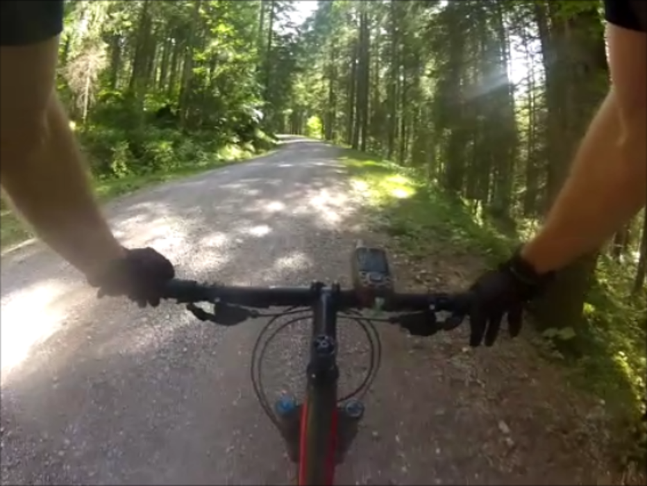
Wunderschöne Tour vorbei am Bauern in der Au. Mit mäßig steilen Anstiegen, hauptsächlich auf Feldwegen.
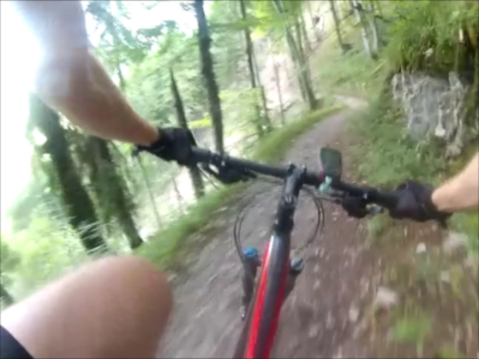
Das Highlight der Tour ist der durchgängig gut fahrbare Singletrail hinunter nach Kreuth. Anfangs noch etwas rauh, wird der Trail mit der Zeit immer flowiger.
Zurück zum Auto empfiehlt sich der Weg entlang der Weißach oder auch einfach die 307.

Biker sind nicht überall gerne gesehen, freundlich Grüßen hilft fast immer!
Das Recht ist auf unserer Seite:
http://www.dimb.de/aktuelles/news-a-presse/798-bayvgh-radfahrverbot-aufgehoben


Further information at

https://www.youtube.com/watch?v=qwdGD_HqSjA

Galerija izletov

Zemljevid in višinski profil izleta

  • Open Street Map
  • Google
Minimum height 767 m Maximum height 1404 m Prikaz podrobnosti

More about the tour author

MTB_Venture
Member since 2015

Send private message

Komentarji

Kanski on 16.07.2016

Nice single trail down!

We did the tour today 16-07-2016. Cloudy and about 18 degrees. The last week we've had a lot of rain in this part of Germany. On the up it's all Schotterweg through forest with now and then a beautiful view at the Landscape. The down is a nice single track. The top part in the forest was completely washed out and muddy. The rest was good.

Parkmöglichkeiten sind in der .gpx enthalten


Poti GPS

Trackpoints
  • GPX / Garmin Map Source (gpx) download
  • TCX / Garmin Training Center® (tcx) download
  • CRS / Garmin Training Center® (crs) download
  • Google Earth (kml) download
  • G7ToWin (g7t) download
  • TTQV (trk) download
  • Overlay (ovl) download
  • Fugawi (txt) download
  • Kompass (DAV) Track (tk) download
  • List z izleti (pdf) download
  • Original file of the author (gpx) download

More about the tour author

MTB_Venture
Member since 2015

Send private message
Share track
Add to my favorites
Remove from my favorites
Edit tags
My score
Rate
Izlet: Hirschberg Trailtour
Vrsta: Gorsko kolo
Dolžina: 17,2 km
Evaluated on:
Trajanje:
Day(s)
Hour(s)
Minute(s)
Ocena: Pokrajina Dejavnik zabave Kondicija Tehnika