
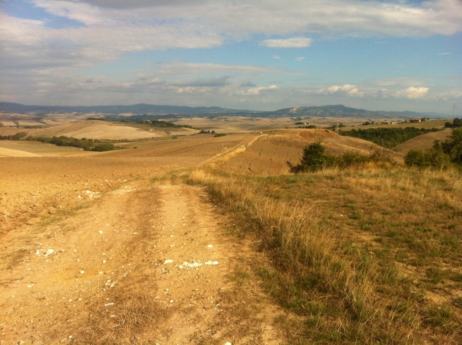

Eine sehr abwechslungsreiche und schöne Rundtour, welche uns zunächst über offene Felder, danach die meiste Zeit durch dichte Wälder führte. Bei guter Fernsicht mit Blick bis zum Meer und natürlich immer wieder auf das schöne toskanische Hinterland. Bergauf gut zu befahren, bergab dann schon eher etwas anspruchsvoller. Empfehlenswert nur mit Mountainbike!
Further information at
http://www.castellitoscani.com/italian/pietracassia.htmGalerija izletov


Zemljevid in višinski profil izleta
Minimum height 99 m
Maximum height 613 m
More about the tour author

|
thheinz |
Komentarji

Poti GPS
Trackpoints-
GPX / Garmin Map Source (gpx) download
-
TCX / Garmin Training Center® (tcx) download
-
CRS / Garmin Training Center® (crs) download
-
Google Earth (kml) download
-
G7ToWin (g7t) download
-
TTQV (trk) download
-
Overlay (ovl) download
-
Fugawi (txt) download
-
Kompass (DAV) Track (tk) download
-
List z izleti (pdf) download
-
Original file of the author (gpx) download
More about the tour author
|
|
thheinz |
Add to my favorites
Remove from my favorites
Edit tags
Open track
My score
Rate