Login

Si pozabil/a podatke za prijavo?

Cookies have to be accepted!
Your browser's cookie functionality is disabled. Please enable this functionality.

Not a member yet?

Register now
Login

Available for registred users only

Log in to use this feature.

Si pozabil/a podatke za prijavo?

Cookies have to be accepted!
Your browser's cookie functionality is disabled. Please enable this functionality.

Not a member yet?

Register now
Filter
Kategorije
Advanced filters
  • Dolžina (km)
  • Metri nadmorske višine
Shrani filter Reset filter

TrackRank

QRCode

Technical data

Dolžina50,7 km Metri nadmorske višine1722 m Way down1714 m Trajanje00:00 h:m Datum06.10.2015
Ocene Author Pokrajina Dejavnik zabave Kondicija Tehnika

Statistika

510 Pogledi Ocene 86 Prenosi Povprečje
Rate
  • List z izleti
  • Prihod
  • Prenosi

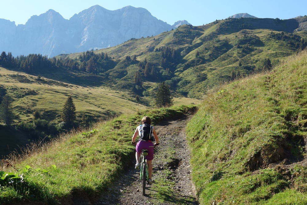
Schöne Runde über den Col de Cou. Nach Morzine und über Avoriaz, skuriler Skiort, über die Chavanette (im Winter wegen der Steilheit auch Schweizer Wand genannt) zurück nach Les Croset


Galerija izletov

Zemljevid in višinski profil izleta

  • Open Street Map
  • Google
Minimum height 941 m Maximum height 2139 m Prikaz podrobnosti

More about the tour author

haaaatz
Member since 2011

Send private message

Komentarji

Poti GPS

Trackpoints
  • GPX / Garmin Map Source (gpx) download
  • TCX / Garmin Training Center® (tcx) download
  • CRS / Garmin Training Center® (crs) download
  • Google Earth (kml) download
  • G7ToWin (g7t) download
  • TTQV (trk) download
  • Overlay (ovl) download
  • Fugawi (txt) download
  • Kompass (DAV) Track (tk) download
  • List z izleti (pdf) download
  • Original file of the author (gpx) download

More about the tour author

haaaatz
Member since 2011

Send private message
Share track
Add to my favorites
Remove from my favorites
Edit tags
My score
Rate
Izlet: Col de Cou - Morzine
Vrsta: Gorsko kolo
Dolžina: 50,7 km
Evaluated on:
Trajanje:
Day(s)
Hour(s)
Minute(s)
Ocena: Pokrajina Dejavnik zabave Kondicija Tehnika