Login

Si pozabil/a podatke za prijavo?

Cookies have to be accepted!
Your browser's cookie functionality is disabled. Please enable this functionality.

Not a member yet?

Register now
Login

Available for registred users only

Log in to use this feature.

Si pozabil/a podatke za prijavo?

Cookies have to be accepted!
Your browser's cookie functionality is disabled. Please enable this functionality.

Not a member yet?

Register now
Filter
Kategorije
Advanced filters
  • Dolžina (km)
  • Metri nadmorske višine
Shrani filter Reset filter

TrackRank

QRCode

Technical data

Dolžina31,2 km Metri nadmorske višine490 m Way down482 m Trajanje02:10 h:m Datum24.10.2015
Ocene Author Pokrajina Dejavnik zabave Kondicija Tehnika

Statistika

450 Pogledi Ocene 76 Prenosi Povprečje
Rate
  • List z izleti
  • Prihod
  • Prenosi

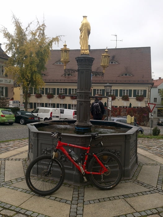
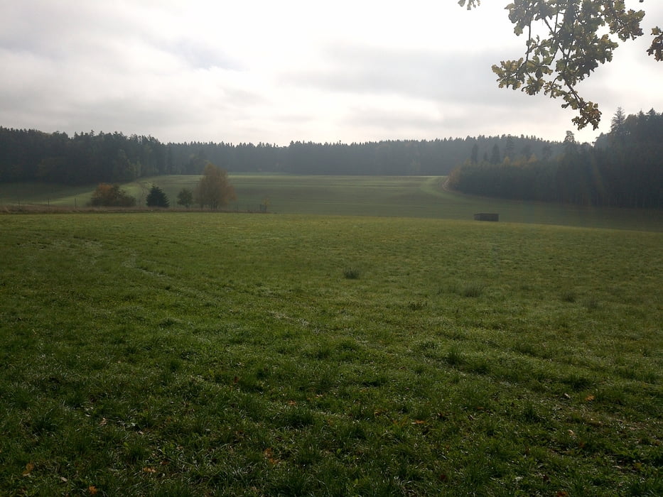
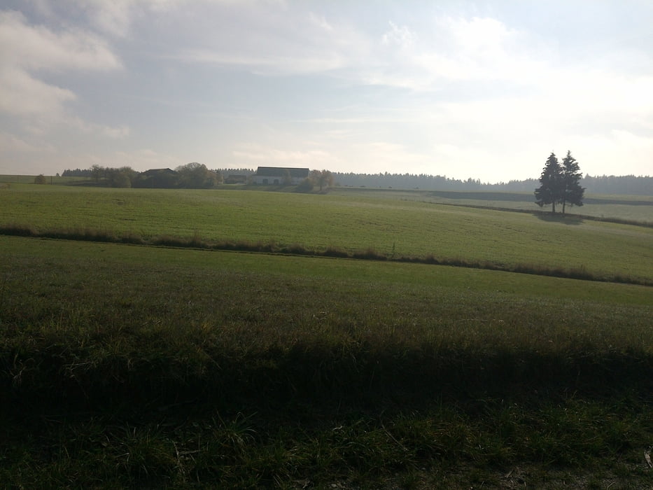
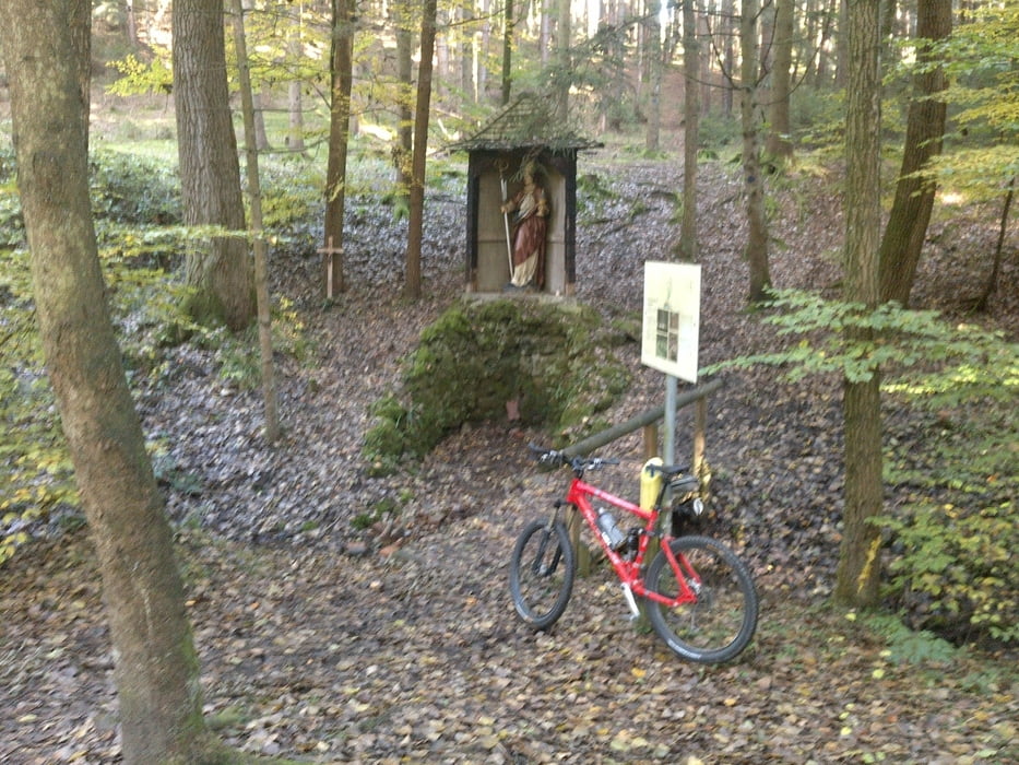
Klasse Mountainbike Tour von Altomünster aus, ich bin sie linksherum gefahren also erstmal Richtung Pipinsried,anfangs relativ viel Teer allerding nur wenig von Autos befahren, es geht über Metzenried in den Schiltberger Forst und zurück über den Altowald, viel Spass,

Und lasst euch von dem Teer nicht abschrecken, man wird dafür mehr als entschädigt !
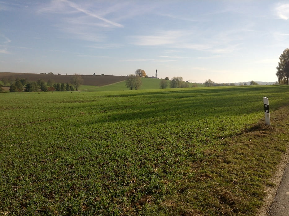
 

Galerija izletov

Zemljevid in višinski profil izleta

  • Open Street Map
  • Google
Minimum height 490 m Maximum height 573 m Prikaz podrobnosti

More about the tour author

Mani59
Member since 2013

Send private message

Komentarji

Poti GPS

Trackpoints
  • GPX / Garmin Map Source (gpx) download
  • TCX / Garmin Training Center® (tcx) download
  • CRS / Garmin Training Center® (crs) download
  • Google Earth (kml) download
  • G7ToWin (g7t) download
  • TTQV (trk) download
  • Overlay (ovl) download
  • Fugawi (txt) download
  • Kompass (DAV) Track (tk) download
  • List z izleti (pdf) download
  • Original file of the author (gpx) download

More about the tour author

Mani59
Member since 2013

Send private message
Share track
Add to my favorites
Remove from my favorites
Edit tags
My score
Rate
Izlet: Schiltberger Forst
Vrsta: Gorsko kolo
Dolžina: 31,2 km
Evaluated on:
Trajanje:
Day(s)
Hour(s)
Minute(s)
Ocena: Pokrajina Dejavnik zabave Kondicija Tehnika