Login

Si pozabil/a podatke za prijavo?

Cookies have to be accepted!
Your browser's cookie functionality is disabled. Please enable this functionality.

Not a member yet?

Register now
Login

Available for registred users only

Log in to use this feature.

Si pozabil/a podatke za prijavo?

Cookies have to be accepted!
Your browser's cookie functionality is disabled. Please enable this functionality.

Not a member yet?

Register now
Filter
Kategorije
Advanced filters
  • Dolžina (km)
  • Metri nadmorske višine
Shrani filter Reset filter

TrackRank

QRCode

Technical data

Dolžina10,4 km Metri nadmorske višine318 m Way down378 m Trajanje03:00 h:m Datum31.10.2015
Ocene Author Pokrajina Dejavnik zabave Kondicija Tehnika

Statistika

1413 Pogledi Ocene 47 Prenosi Povprečje
Rate
  • List z izleti
  • Prihod
  • Prenosi

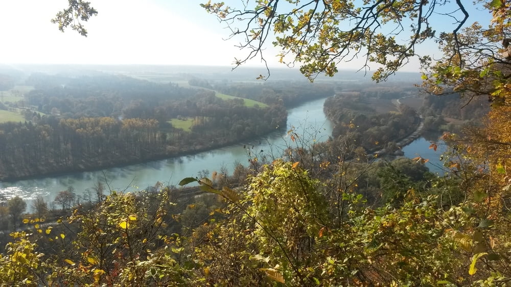
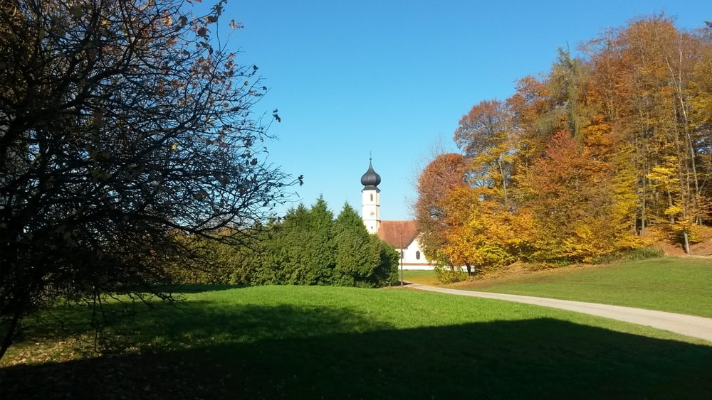
Ein kurzer Anstieg führt auf einen wunderbaren Aussichtspunkt hoch über dem Inn auf der Höhe der Mündung der Alz. Gemütlich geht es weiter nach Leonberg und weiter auf der Straße nach Marktl, zum Teil durch lichten Buchenwald, bis zur Abzweigung nach Wang. Dort steil hinunter zum Marktler Badesee und zurück zum Parkplatz.


Further information at

http://www.inn-salzach.com/de/marktler-innleite-mit-dachlwand/

Galerija izletov

Zemljevid in višinski profil izleta

  • Open Street Map
  • Google
Minimum height 346 m Maximum height 603 m Prikaz podrobnosti

More about the tour author

Golfhannes
Member since 2015

Send private message

Komentarji

Poti GPS

Trackpoints
  • GPX / Garmin Map Source (gpx) download
  • TCX / Garmin Training Center® (tcx) download
  • CRS / Garmin Training Center® (crs) download
  • Google Earth (kml) download
  • G7ToWin (g7t) download
  • TTQV (trk) download
  • Overlay (ovl) download
  • Fugawi (txt) download
  • Kompass (DAV) Track (tk) download
  • List z izleti (pdf) download
  • Original file of the author (gpx) download

More about the tour author

Golfhannes
Member since 2015

Send private message
Share track
Add to my favorites
Remove from my favorites
Edit tags
My score
Rate
Izlet: Dachlwand
Vrsta: Pešačenje
Dolžina: 10,4 km
Evaluated on:
Trajanje:
Day(s)
Hour(s)
Minute(s)
Ocena: Pokrajina Dejavnik zabave Kondicija Tehnika