Login

Si pozabil/a podatke za prijavo?

Cookies have to be accepted!
Your browser's cookie functionality is disabled. Please enable this functionality.

Not a member yet?

Register now
Login

Available for registred users only

Log in to use this feature.

Si pozabil/a podatke za prijavo?

Cookies have to be accepted!
Your browser's cookie functionality is disabled. Please enable this functionality.

Not a member yet?

Register now
Filter
Kategorije
Advanced filters
  • Dolžina (km)
  • Metri nadmorske višine
Shrani filter Reset filter

TrackRank

QRCode

Technical data

Dolžina48,0 km Metri nadmorske višine1166 m Way down1165 m Trajanje03:19 h:m Datum01.11.2015
Ocene Author Pokrajina Dejavnik zabave Kondicija Tehnika

Statistika

212 Pogledi Ocene 22 Prenosi Povprečje
Rate
  • List z izleti
  • Prihod
  • Prenosi

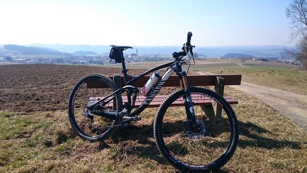
Schnelle Runde mit schönen Ausblicken, knackigen Anstiegen und schnellen Abfahrten. 

Hauptsächlich Wald- Wanderwege und ein paar Güterstraßen. 

Alles sehr gut befahrbar mit ein paar coolen Trails(einfach).


Zemljevid in višinski profil izleta

  • Open Street Map
  • Google
Minimum height 566 m Maximum height 844 m Prikaz podrobnosti

More about the tour author

juergenzoechbauer
Member since 2015

Send private message

Komentarji

Poti GPS

Trackpoints
  • GPX / Garmin Map Source (gpx) download
  • TCX / Garmin Training Center® (tcx) download
  • CRS / Garmin Training Center® (crs) download
  • Google Earth (kml) download
  • G7ToWin (g7t) download
  • TTQV (trk) download
  • Overlay (ovl) download
  • Fugawi (txt) download
  • Kompass (DAV) Track (tk) download
  • List z izleti (pdf) download
  • Original file of the author (gpx) download

More about the tour author

juergenzoechbauer
Member since 2015

Send private message
Share track
Add to my favorites
Remove from my favorites
Edit tags
My score
Rate
Izlet: Hofkirchen-Ameisberg Runde
Vrsta: Gorsko kolo
Dolžina: 48,0 km
Evaluated on:
Trajanje:
Day(s)
Hour(s)
Minute(s)
Ocena: Pokrajina Dejavnik zabave Kondicija Tehnika