Login

Si pozabil/a podatke za prijavo?

Cookies have to be accepted!
Your browser's cookie functionality is disabled. Please enable this functionality.

Not a member yet?

Register now
Login

Available for registred users only

Log in to use this feature.

Si pozabil/a podatke za prijavo?

Cookies have to be accepted!
Your browser's cookie functionality is disabled. Please enable this functionality.

Not a member yet?

Register now
Filter
Kategorije
Advanced filters
  • Dolžina (km)
  • Metri nadmorske višine
Shrani filter Reset filter

TrackRank

QRCode

Technical data

Dolžina9,6 km Metri nadmorske višine398 m Way down400 m Trajanje02:00 h:m Datum05.11.2015
Ocene Author Pokrajina Dejavnik zabave Kondicija Tehnika

Statistika

153 Pogledi 1 Ocena 11 Prenosi 3.00 Povprečje
Rate
  • List z izleti
  • Prihod
  • Prenosi

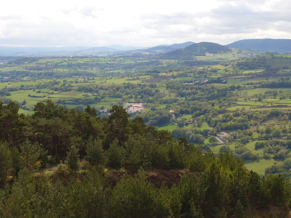
Wegverlauf: Le Puy=en=Velay (Cité St=Michel) - Polignac - Mont Denise - Cité St=Michel


Galerija izletov

Zemljevid in višinski profil izleta

  • Open Street Map
  • Google
Minimum height 632 m Maximum height 894 m Prikaz podrobnosti

More about the tour author

lothardomnik
Member since 2009

Send private message

Komentarji

Mit Buslinie 5 ab Michelet (Stadtmitte)


Poti GPS

Trackpoints
  • GPX / Garmin Map Source (gpx) download
  • TCX / Garmin Training Center® (tcx) download
  • CRS / Garmin Training Center® (crs) download
  • Google Earth (kml) download
  • G7ToWin (g7t) download
  • TTQV (trk) download
  • Overlay (ovl) download
  • Fugawi (txt) download
  • Kompass (DAV) Track (tk) download
  • List z izleti (pdf) download
  • Original file of the author (gpx) download

More about the tour author

lothardomnik
Member since 2009

Send private message
Share track
Add to my favorites
Remove from my favorites
Edit tags
My score
Rate
Izlet: Auvergne: Velay
Vrsta: Pešačenje
Dolžina: 9,6 km
Evaluated on:
Trajanje:
Day(s)
Hour(s)
Minute(s)
Ocena: Pokrajina Dejavnik zabave Kondicija Tehnika