
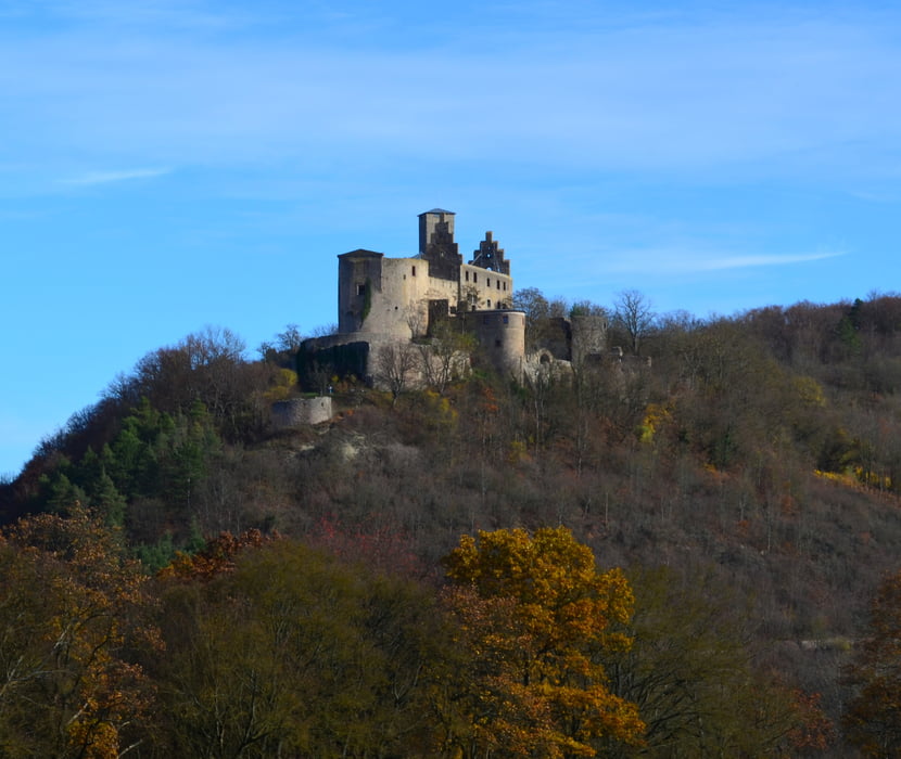

Startpunkt ist eigentlich an der Kreuzkapelle bei Machtolshausen. Vom Parkplatz über die Straße und links auf den Fahrradweg Richtung Trimburg. Dann hoch zur Trimburg. Kurzes Stück zurück bis zur Nr 5. auf schönen Weinbergstrail den Hang entlang bis Ruine links bergab führt. Dann runter zur Teerauffahrt zur Burg. Rechts ab runter zur Straße. Diese Überqueren und inks nach Trimburg und Elfershausen dort unter der BAB 7 durch und links auf Weg Nr. 3. Auf diesen bleiben bis hoch zum Langberg. on dort weiter bis nach Feuerthal. Über die 10 hoch in die WEinberge. Von da auf der 7 erst auf Bergrücken dann runter bis nach Hammelburg und von dort zum Ausgangspunkt zurück.
Zemljevid in višinski profil izleta
Minimum height 217 m
Maximum height 422 m
More about the tour author
|
|
kamrehn |
Komentarji

Poti GPS
Trackpoints-
GPX / Garmin Map Source (gpx) download
-
TCX / Garmin Training Center® (tcx) download
-
CRS / Garmin Training Center® (crs) download
-
Google Earth (kml) download
-
G7ToWin (g7t) download
-
TTQV (trk) download
-
Overlay (ovl) download
-
Fugawi (txt) download
-
Kompass (DAV) Track (tk) download
-
List z izleti (pdf) download
-
Original file of the author (gpx) download
More about the tour author
|
|
kamrehn |
Add to my favorites
Remove from my favorites
Edit tags
Open track
My score
Rate