Login

Si pozabil/a podatke za prijavo?

Cookies have to be accepted!
Your browser's cookie functionality is disabled. Please enable this functionality.

Not a member yet?

Register now
Login

Available for registred users only

Log in to use this feature.

Si pozabil/a podatke za prijavo?

Cookies have to be accepted!
Your browser's cookie functionality is disabled. Please enable this functionality.

Not a member yet?

Register now
Filter
Kategorije
Advanced filters
  • Dolžina (km)
  • Metri nadmorske višine
Shrani filter Reset filter

TrackRank

QRCode

Technical data

Dolžina36,9 km Metri nadmorske višine669 m Way down674 m Trajanje02:20 h:m Datum12.12.2015
Ocene Author Pokrajina Dejavnik zabave Kondicija Tehnika

Statistika

185 Pogledi Ocene 18 Prenosi Povprečje
Rate
  • List z izleti
  • Prihod
  • Prenosi
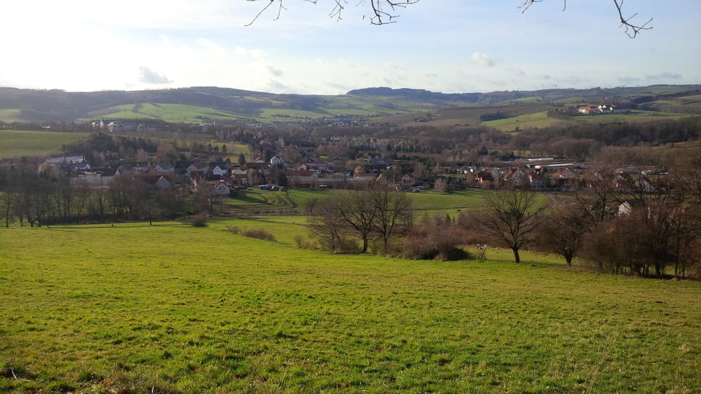
obwohl man sich die meiste zeit im stadtgebiet aufhält hat man gute trails, z. b. entlang am nöthnitzer bach. abwechslungsreich und landschaftlich schön mit guten ausblicken.

Galerija izletov

Zemljevid in višinski profil izleta

  • Open Street Map
  • Google
Minimum height 96 m Maximum height 339 m Prikaz podrobnosti

More about the tour author

chris_dd
Member since 2011

Send private message

Komentarji

Poti GPS

Trackpoints
  • GPX / Garmin Map Source (gpx) download
  • TCX / Garmin Training Center® (tcx) download
  • CRS / Garmin Training Center® (crs) download
  • Google Earth (kml) download
  • G7ToWin (g7t) download
  • TTQV (trk) download
  • Overlay (ovl) download
  • Fugawi (txt) download
  • Kompass (DAV) Track (tk) download
  • List z izleti (pdf) download
  • Original file of the author (gpx) download

More about the tour author

chris_dd
Member since 2011

Send private message
Share track
Add to my favorites
Remove from my favorites
Edit tags
My score
Rate
Izlet: DD Süd gegen Uhrzeiger
Vrsta: Gorsko kolo
Dolžina: 36,9 km
Evaluated on:
Trajanje:
Day(s)
Hour(s)
Minute(s)
Ocena: Pokrajina Dejavnik zabave Kondicija Tehnika