Login

Si pozabil/a podatke za prijavo?

Cookies have to be accepted!
Your browser's cookie functionality is disabled. Please enable this functionality.

Not a member yet?

Register now
Login

Available for registred users only

Log in to use this feature.

Si pozabil/a podatke za prijavo?

Cookies have to be accepted!
Your browser's cookie functionality is disabled. Please enable this functionality.

Not a member yet?

Register now
Filter
Kategorije
Advanced filters
  • Dolžina (km)
  • Metri nadmorske višine
Shrani filter Reset filter

TrackRank

QRCode

Technical data

Dolžina17,0 km Metri nadmorske višine552 m Way down543 m Trajanje03:30 h:m Datum19.02.2016
Ocene Author Pokrajina Dejavnik zabave Kondicija Tehnika

Statistika

249 Pogledi Ocene 32 Prenosi Povprečje
Rate
  • List z izleti
  • Prihod
  • Prenosi
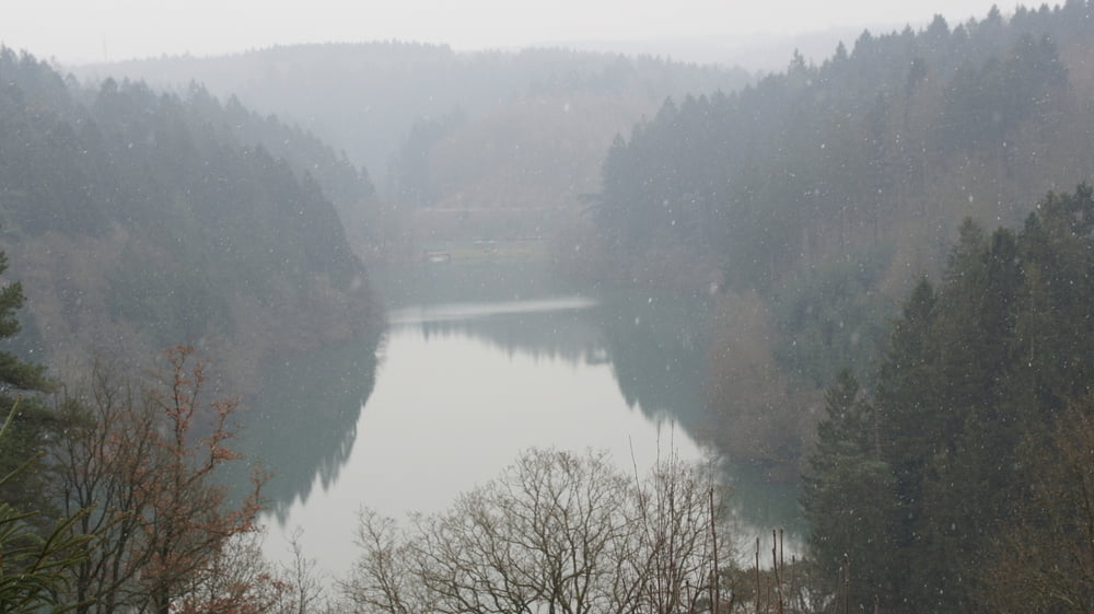
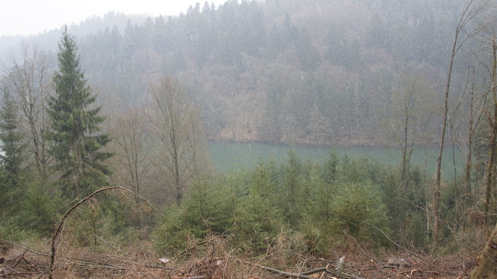
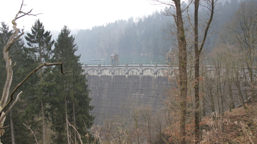
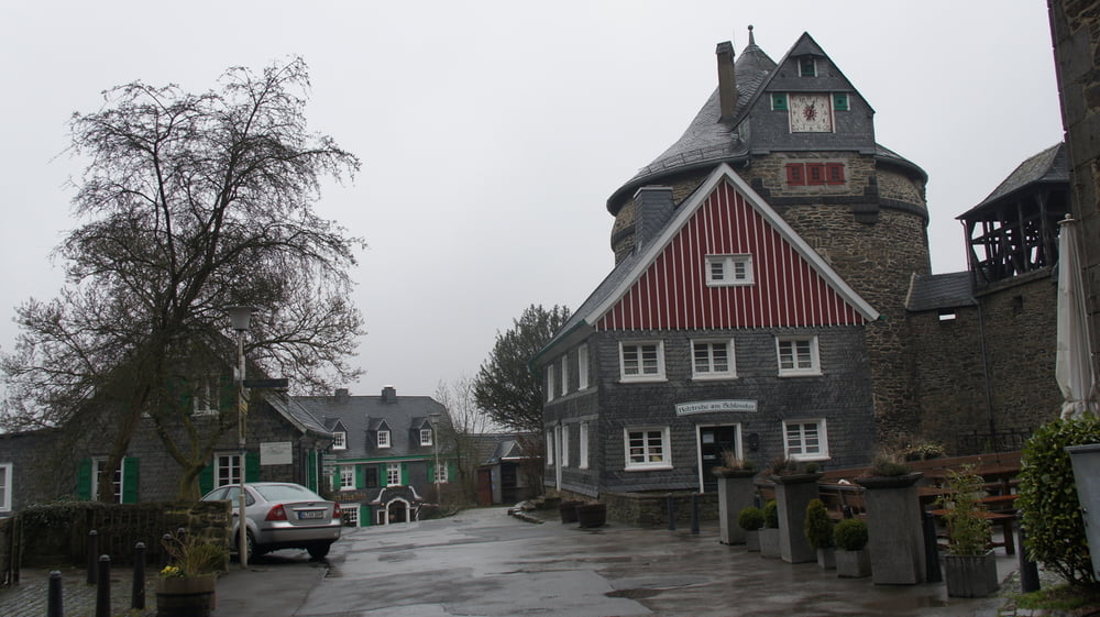
Die Sengbachtalsperre ist eine Trinkwasser-Talsperre in Solingen. Sie liegt in einem abgeschiedenen Seitental der Wupper unweit von Schloss Burg.

Galerija izletov

Zemljevid in višinski profil izleta

  • Open Street Map
  • Google
Minimum height 113 m Maximum height 269 m Prikaz podrobnosti

More about the tour author

bemuel6
Member since 2015

Send private message

Komentarji

Poti GPS

Trackpoints
  • GPX / Garmin Map Source (gpx) download
  • TCX / Garmin Training Center® (tcx) download
  • CRS / Garmin Training Center® (crs) download
  • Google Earth (kml) download
  • G7ToWin (g7t) download
  • TTQV (trk) download
  • Overlay (ovl) download
  • Fugawi (txt) download
  • Kompass (DAV) Track (tk) download
  • List z izleti (pdf) download
  • Original file of the author (gpx) download

More about the tour author

bemuel6
Member since 2015

Send private message
Share track
Add to my favorites
Remove from my favorites
Edit tags
My score
Rate
Izlet: Von Burg zur Sengstbach-Talsperre bis nach Burg
Vrsta: Pešačenje
Dolžina: 17,0 km
Evaluated on:
Trajanje:
Day(s)
Hour(s)
Minute(s)
Ocena: Pokrajina Dejavnik zabave Kondicija Tehnika