


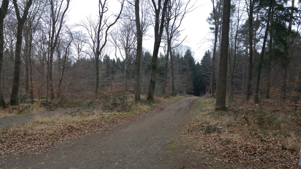
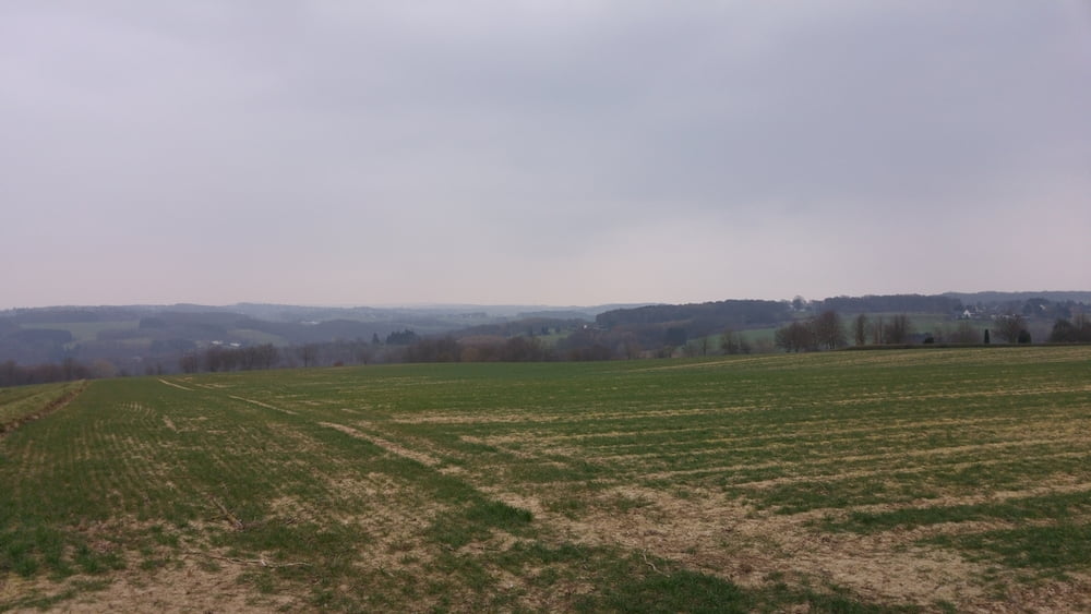
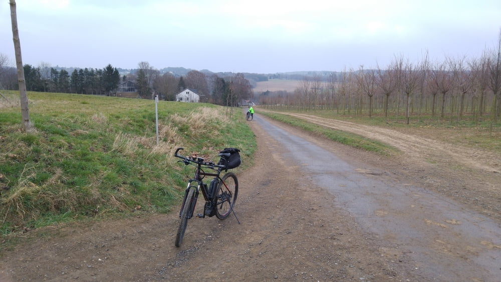
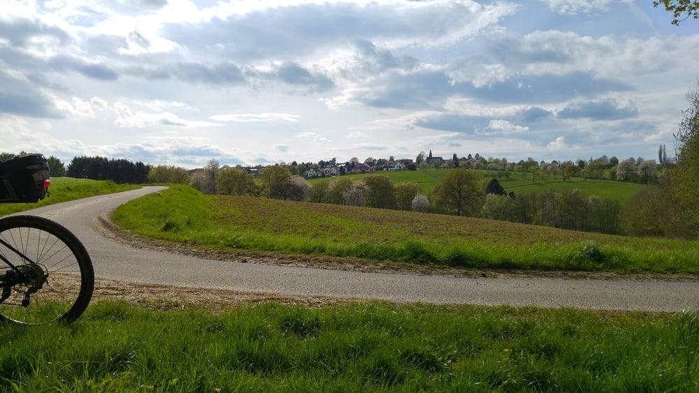
Schöne offene Landschaft, recht hügelig für diese Region, satte Anstiege, tolle Abfahrten. Das Schöne an dieser Seite des Rheins ist die Abwechslung in Landschaft und Konditions-Anspruch.
Möchte jemand mitfahren ? E-MTB ausgewogen (kein Downhill, aber anstrengend darf es schon mal sein), immer den Spaß und die Natur im Vordergrund...eine Rast mit Kaltgetränk gehört auch dazu !
In der Woche bin ich mit einem Kollegen auf Tour, am We i.d.R. allein, da wäre ein/e Mitfahrer/in eine Bereicherung, denn geteilte Fahrfreude ist doppelte Freude !
Einfach Nachricht an mich in diesem Portal, ich freue mich !
Galerija izletov
Zemljevid in višinski profil izleta
Minimum height 53 m
Maximum height 314 m
More about the tour author
|
|
dssoft |
Komentarji

Los geht es im Platanenweg Bonn Beuel, in der Umgebung sind am Wochenende alle Parkplätze an der Straße frei und kostenlos, während der Woche wird es schwierig, dann besteht nur auf dem Friedhofsparkplatz wirklich Platz, aber Parkscheibe 2 Std...nutzt nicht wirklich was => Suchen !
Poti GPS
Trackpoints-
GPX / Garmin Map Source (gpx) download
-
TCX / Garmin Training Center® (tcx) download
-
CRS / Garmin Training Center® (crs) download
-
Google Earth (kml) download
-
G7ToWin (g7t) download
-
TTQV (trk) download
-
Overlay (ovl) download
-
Fugawi (txt) download
-
Kompass (DAV) Track (tk) download
-
List z izleti (pdf) download
-
Original file of the author (gpx) download
More about the tour author
|
|
dssoft |
Add to my favorites
Remove from my favorites
Edit tags
Open track
My score
Rate